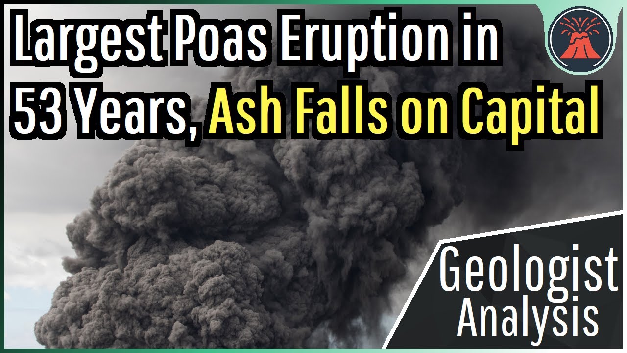
Poas Volcano Eruption Update; Largest Eruption in 53 Years, Ash Falls on Capital
Автор: GeologyHub
Загружено: 2025-04-23
Просмотров: 46989
Описание:
The Poas volcano just produced its largest explosive eruption in 53 years, causing ash to rain down on many nearby communities including to a lighter extent the capital city of Costa Rica, San Jose. This occurred after a 10 day long drop in activity, in which I interpret a volcanic plug had formed and was blocking building pressure and gas at depth. Today's video will discuss the model of the eruption I have created, what exactly happened, and discusses what might happen next through the analysis of a geologist.
Thumbnail Photo Credit: U.S. Geological Survey, Hawaiian Volcano Observatory, Public Domain, https://www.usgs.gov/media/images/kil.... This video was brightened in darker/shadowed areas, overlaid with text, and then overlaid with GeologyHub made graphics (the image border & the GeologyHub logo).
Note: The thumbnail image for today's video shows a 2018 eruption photo of Kilauea rather than Poas. I am using it as a stand-in image for Poas in an attempt to portray what its initial eruption plume close up might have looked like.
If you would like to support this channel, consider using one of the following links:
(Patreon: / geologyhub )
(YouTube membership: / @geologyhub )
(Gemstone & Mineral Etsy store: http://prospectingarizona.etsy.com)
(GeologyHub Merch Etsy store: http://geologyhub.etsy.com)
Google Earth imagery used in this video: ©Google & Data Providers
This video is protected under "fair use". If you see an image and/or video which is your own in this video, and/or think my discussion of a scientific paper (and/or discussion/mentioning of the data/information within a scientific paper) does not fall under the fair use doctrine, and wish for it to be censored or removed, contact me by email at [email protected] and I will make the necessary changes.
Various licenses used in sections of this video (not the entire video, this video as a whole does not completely fall under one of these licenses) and/or in this video's thumbnail image (and this list does not include every license used in this video and/or thumbnail image):
Public Domain: https://creativecommons.org/publicdom...
Sources/Citations:
[1] Observatorio Vulcanológico y Sismológico de Costa Rica (OVSICORI)
[2] VEIs, dates/years, composition, tephra layer name, DRE estimates, and bulk tephra volume estimates for volcanic eruptions shown in this video which were assigned a VEI 4 or larger (with the exception of Mount Tambora's tephra volume only) are sourced from the LaMEVE database (British Geological Survey © UKRI), https://www2.bgs.ac.uk/vogripa/view/c..., Used with Permission
[3] Source of Volcanic Explosivity Index (VEI) methodology and criteria: Newhall, C. G., and Self, S. (1982), The volcanic explosivity index (VEI) an estimate of explosive magnitude for historical volcanism, J. Geophys. Res., 87(C2), 1231–1238, doi:10.1029/JC087iC02p01231. Accessed / Read by / geologyhub on Oct 5th, 2022.
0:00 Poas Erupts
0:33 Ashfall Extent
1:07 Eruption Size
2:07 Eruption Model
3:47 Acid Rain (in 1994)
Повторяем попытку...
Доступные форматы для скачивания:
Скачать видео
-
Информация по загрузке: