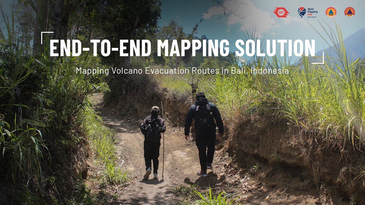
End-to-End Mapping Solution for Volcano Evacuation Routes | Bali, Indonesia
Автор: Open Mapping Hub - Asia-Pacific
Загружено: 2026-01-21
Просмотров: 217
Описание:
End-to-End Mapping Solution Bali focuses on strengthening local capacity to use open and accessible tools for disaster risk reduction around Mount Agung. Through hands-on training and field mapping activities, local disaster management agencies and communities actively planned, collected data, and transformed it into practical maps and disaster management planning tools.
Partners: BPBD Karangasem (@mediacrewbpbdkarangasem7500), BPBD Bali (@pusdalopspbbali9777)
Learn more about the project: https://www.hotosm.org/en/projects/en...
-
Video footage:
Tony Liong / Open Mapping Hub - Asia-Pacific
Drone footage: Rizky Hadwiyanti
Edited by Tony Liong / Open Mapping Hub - Asia-Pacific
-
Subscribe to our channel: / @openmapping_ap
Follow us on other platforms:
Website: https://www.hotosm.org/en/open-mappin...
Facebook: / openmapping.ap
Instagram: / openmapping_ap
LinkedIn: / openmapping-ap
About:
Open Mapping Hub - Asia-Pacific (AP Hub) is a space for everyone interested in contributing to the open mapping movement in Asia-Pacific. We facilitate collaboration and drive the growth of open mapping ecosystems across the region.
Повторяем попытку...
Доступные форматы для скачивания:
Скачать видео
-
Информация по загрузке:


![[FULL] EKSPEDISI CINCIN API PASIFIK | JEJAK PETUALANG (09/04/25)](https://image.4k-video.ru/id-video/s5qpYz0tmDc)