What Really Caused Nepal’s Devastating Flash Flood?
Автор: AI evolution
Загружено: 2026-08-31
Просмотров: 150014
Описание:
The devastating flood that struck Nepal and the Tibet border region on August 26, 2026, was probably not caused by ordinary rain alone.
The leading preliminary explanation begins high on the northern side of Langtang Lirung.
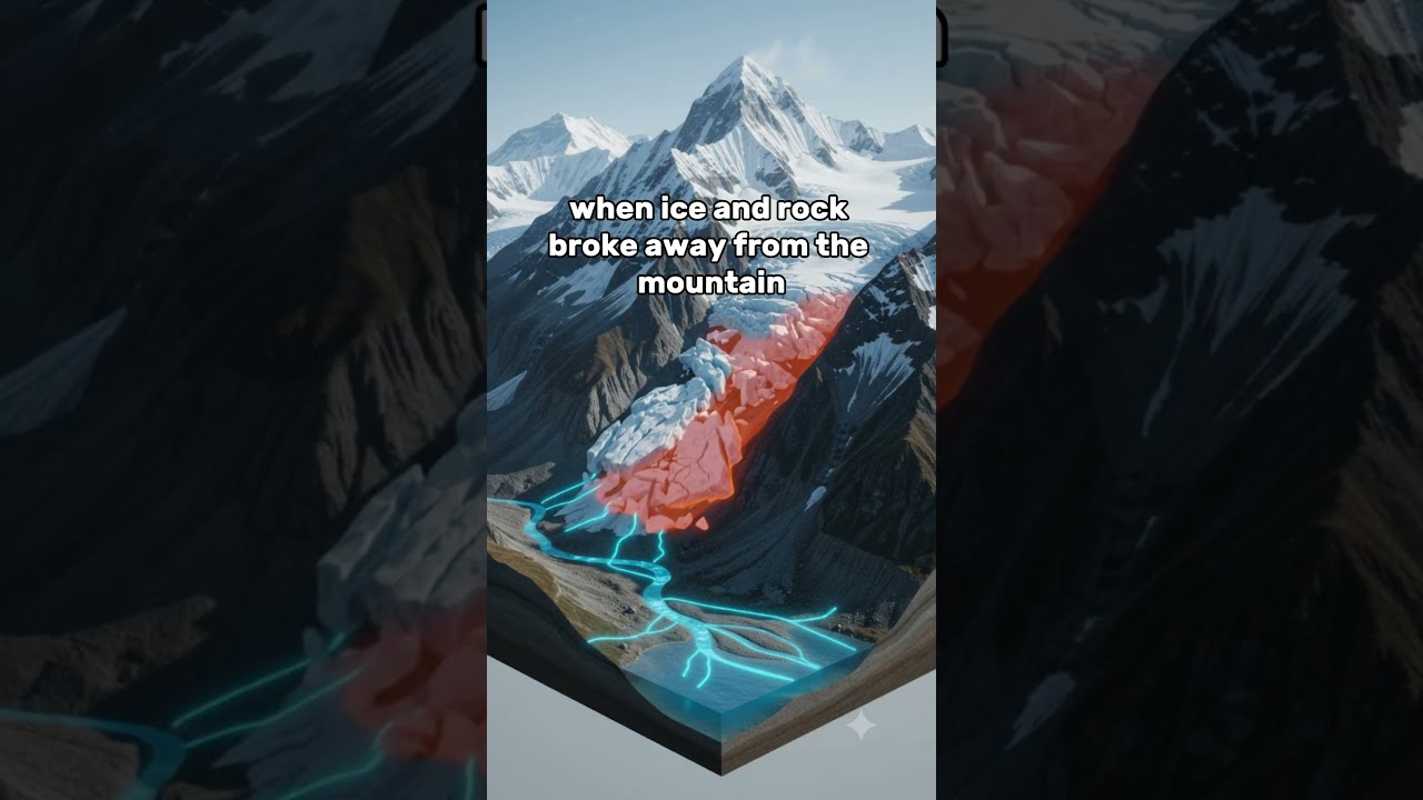
Satellite images show that a huge section of glacier and bedrock broke away from the mountain.
The collapse released enough energy to produce a seismic signal similar to a magnitude-5.2 earthquake.
But investigators say the shaking came from the collapse itself, not from a normal tectonic earthquake.
Scientists still do not know the exact immediate trigger.
However, warming temperatures can change high mountain slopes in several ways.
Glaciers can become thinner and retreat.
Ice that once supported steep rock faces can disappear.
Meltwater can enter cracks.
Frozen ground can thaw, while repeated freezing and thawing can weaken the mountain.
These factors may increase the chance of a major collapse, but climate change has not yet been proven as the sole immediate trigger of this specific disaster.
Early estimates suggest that about five million cubic meters of ice and rock may have fallen from the mountain.
The material dropped more than one kilometer into the valley below.
As it fell, the mass broke apart and became a fast ice-and-rock avalanche.
When the avalanche reached the Lhende Khola river valley, it pushed water forward.
It also picked up mud, loose sediment, and large boulders.
The flow became a dense debris flood containing water, ice, rock, and soil.
The narrow valley focused the moving mass into the river channel.
Preliminary evidence suggests that the debris may also have blocked the river for a short time, creating an unstable natural dam.
If that temporary blockage failed, the stored water behind it would have joined the avalanche debris and created an even larger surge downstream.
This is different from a confirmed classic glacial-lake outburst flood.
Researchers currently describe the disaster as a complex chain of hazards:
glacier and bedrock collapse,
ice-rock avalanche,
debris flow,
possible temporary river blockage,
and catastrophic downstream flooding.
At Galchhi, the Trishuli River reportedly rose by as much as nine meters in only thirty minutes.
That gave downstream communities very little time to react.
The exact collapse mechanism is still being studied, so some parts of this reconstruction may change as scientists examine more satellite images and field evidence.
#NepalFlood #Nepal #LangtangLirung #GlacierCollapse #FlashFlood #DebrisFlow #Himalayas #ClimateChange #NaturalDisaster #EarthScience #Geology #Glacier #TrishuliRiver #HowItHappened #Shorts
Повторяем попытку...
Доступные форматы для скачивания:
Скачать видео
-
Информация по загрузке: