Скачать
Flood Simulation in Arc GIS /Arc Scene Animation of flood
Автор: Technical Esro Arc-GIS Master
Загружено: 2020-04-06
Просмотров: 821
Описание:
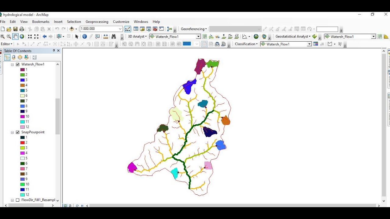
This video is about the method to create a flood animation on ArcGIS 10.2
This is a tutorial showing you how to do a flood inundation visualization using the 3D Analyst tools of ArcScene and ArcMap. However, it should be noted that an accurate flood inundation simulation should always be done using proper hydrodynamic tools such as HEC-RAS, MIKE 11, MIKE 21, etc. This tutorial is merely a hypothetical visualization of inundation under the assumption that the water is constrained by imaginary walls at the boundaries of the DEM.
Не удается загрузить Youtube-плеер. Проверьте блокировку Youtube в вашей сети.
Повторяем попытку...
Повторяем попытку...

Доступные форматы для скачивания:
Скачать видео
-
Информация по загрузке: