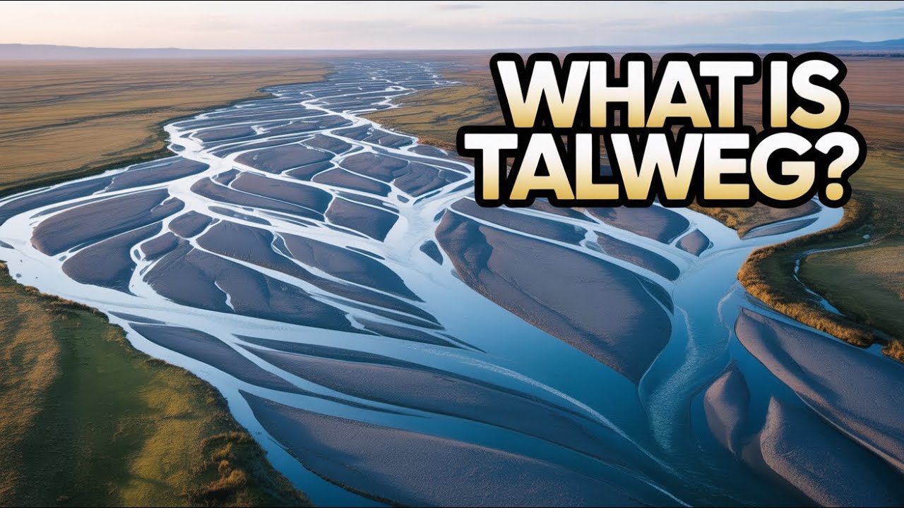
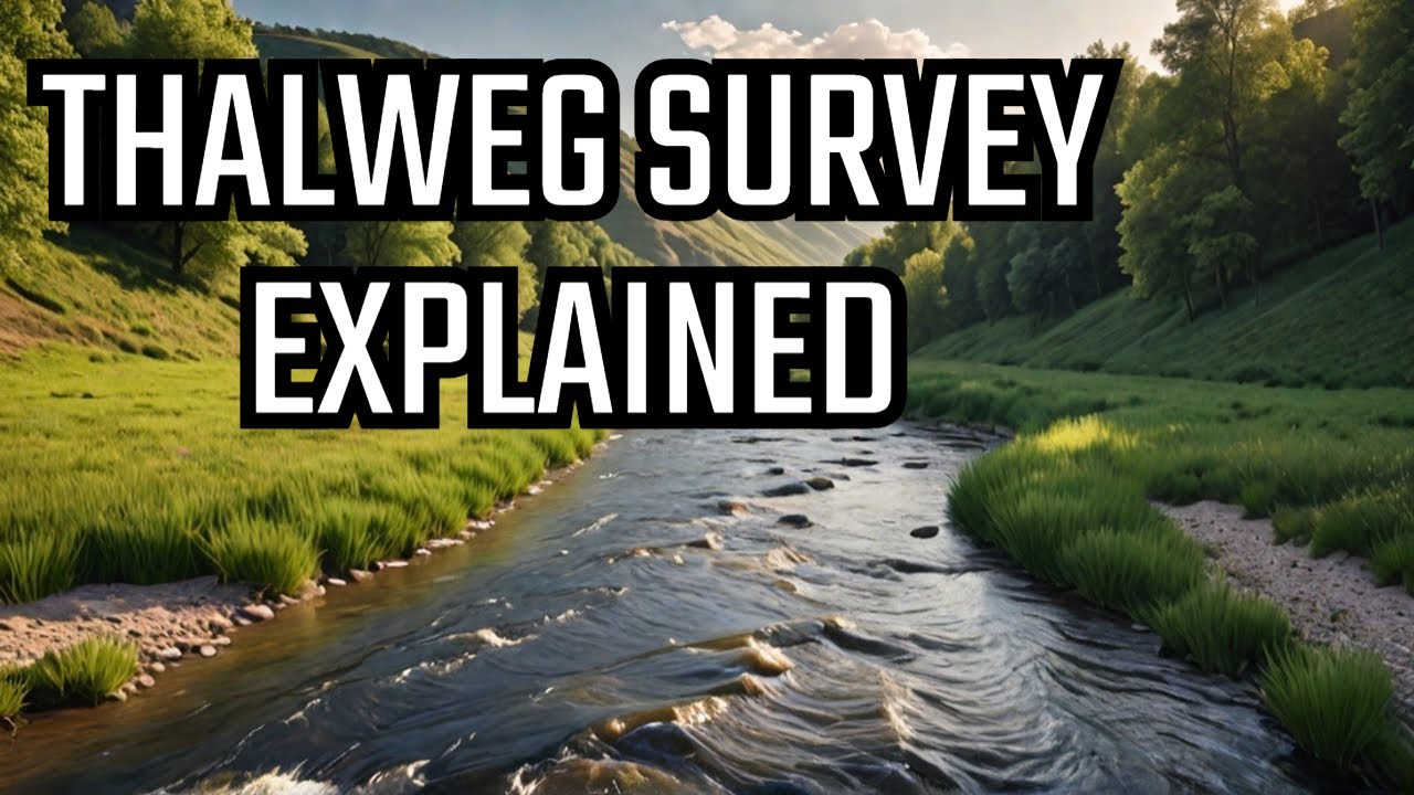
What is Thalweg Survey? Mapping River Depths, Borders & Navigable Channels
Автор: Offshore Surveys
Загружено: 2023-10-16
Просмотров: 1156
Описание:
Have you ever heard of a Thalweg survey? If you're an offshore surveyor, you might not—but it's a critical technique in inland hydrography, river mapping, and international boundary demarcation.
In this video, we explore the origin and meaning of the word “Thalweg,” derived from 19th-century German—‘Tal’ meaning valley and ‘Weg’ meaning way. In hydrography, the Thalweg is the line connecting the lowest points along a riverbed, often used to define the deepest navigable channel and even international borders.
You’ll learn:
What a Thalweg line is and why it matters
How erosion, deposition, and monsoon rains shift riverbeds over time
Why Thalweg surveys are essential for safe navigation and border redefinition
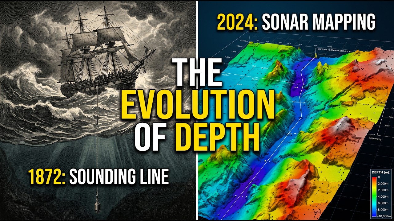
How to conduct Thalweg surveys using single beam or multibeam sonar
Real-world examples like the Iranian Maritime Border in the Persian Gulf and Gulf of Oman
Whether you're a hydrographer, geographer, or curious learner, this video simplifies a powerful surveying concept that shapes navigation, diplomacy, and river science.
💬 Comment below: Which other countries use Thalweg lines to define their borders?
👍 Like, share, and subscribe for more hydrography insights.
🔔 Hit the bell icon to stay updated with new videos.
#ThalwegSurvey #Hydrography #RiverMapping #Bathymetry #MultibeamSonar #SingleBeamSurvey #SurveyingExplained #MaritimeBorders #NavigableChannel #SedimentMapping
Повторяем попытку...
Доступные форматы для скачивания:
Скачать видео
-
Информация по загрузке: