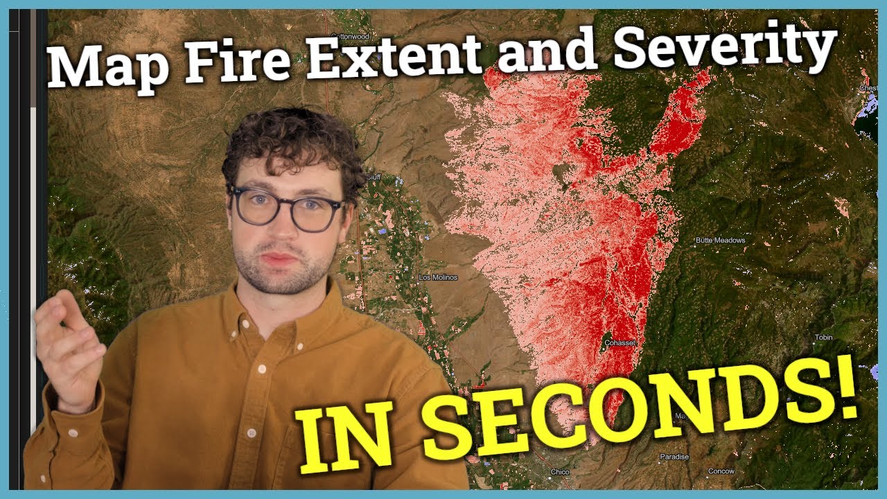
Map Fire Extent and Severity in Seconds with AI!
Автор: ASKTERRA
Загружено: 2025-10-29
Просмотров: 24145
Описание:
🔗 Try ASKTERRA for free: https://askterra.io
ASKTERRA transforms complex Google Earth Engine workflows for mapping fire extent and severity into natural language conversations - no coding required! GIS pros maintain full control of the parameters of the analysis and can easily integrate data from ASKTERRA into existing GIS workflows (e.g., in ArcGIS Pro or QGIS). Newcomers to GIS can easily access the most sophisticated geospatial insights without specialized programming skills.
🌍 What is ASKTERRA?
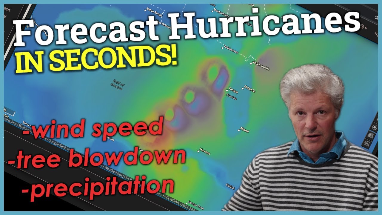
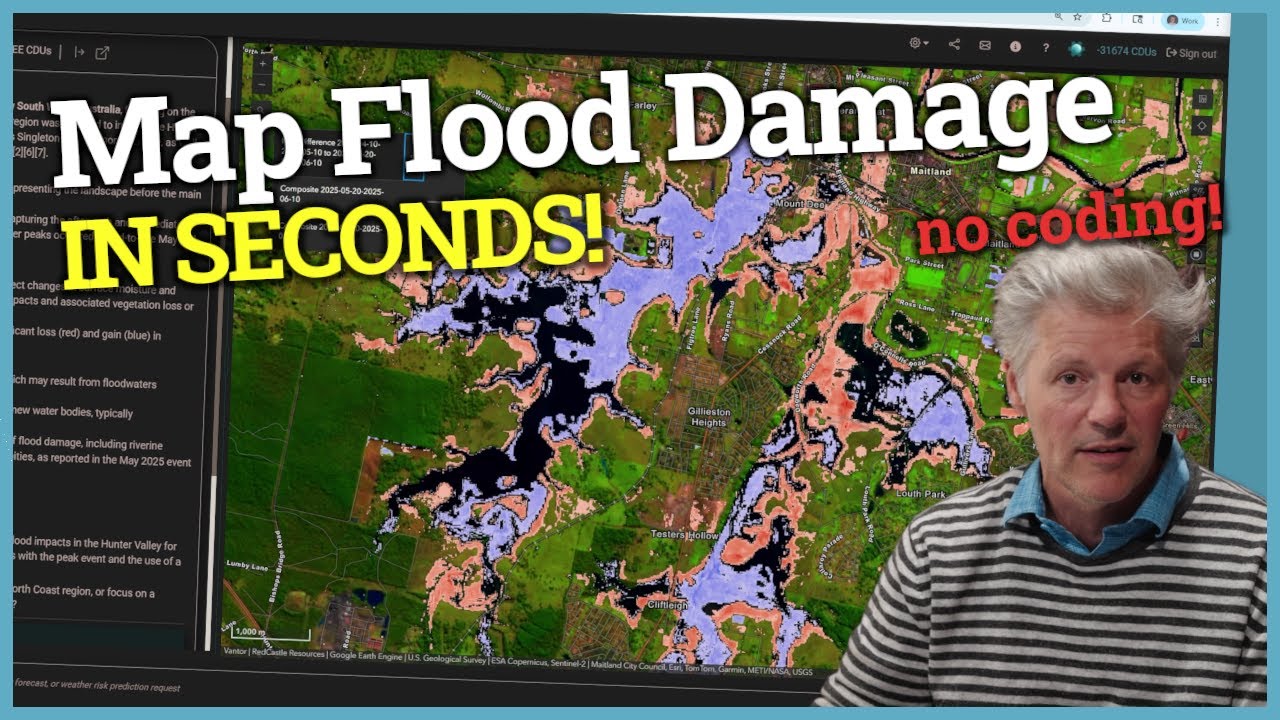
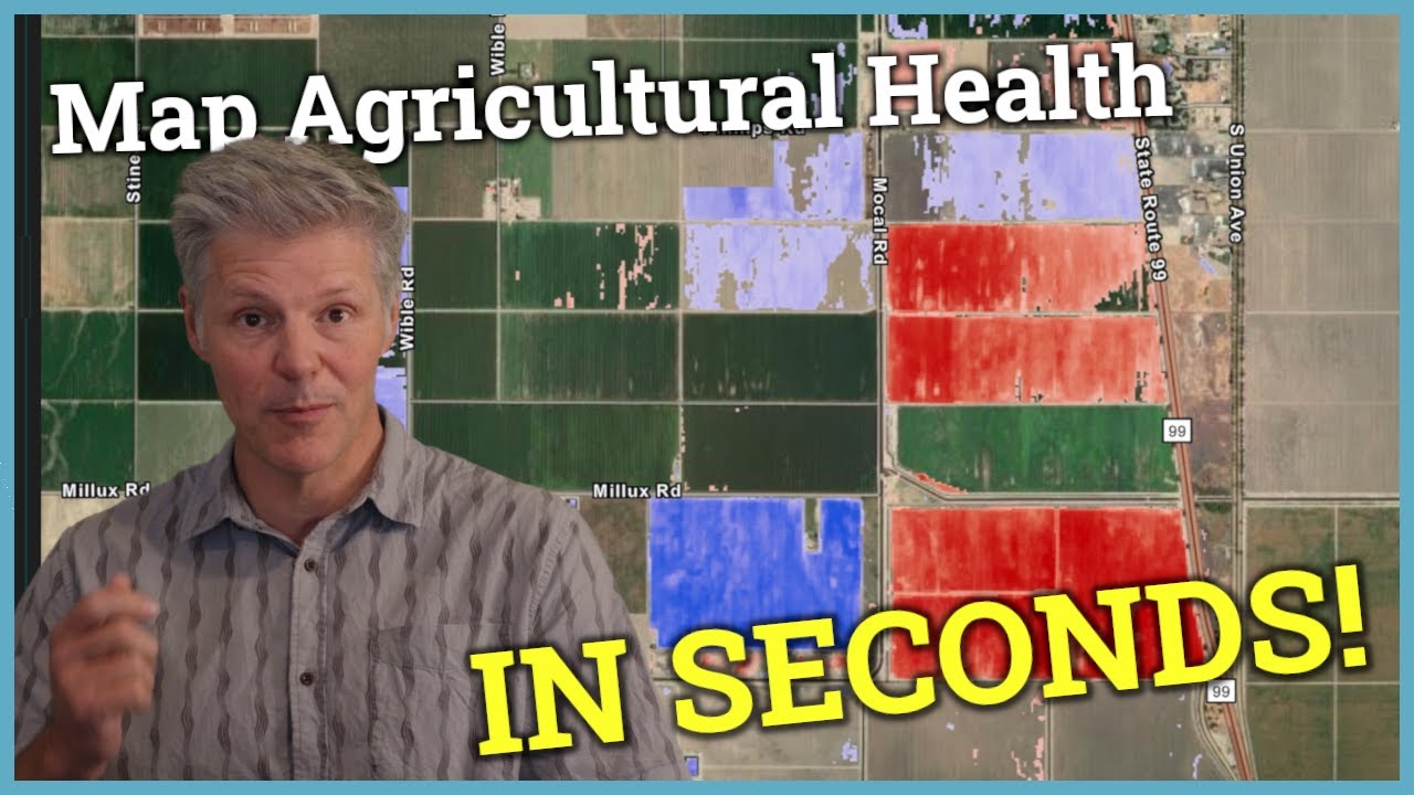
ASKTERRA is a conversational GeoAI platform that makes professional-grade geospatial analysis accessible to everyone. Whether you're analyzing deforestation, monitoring agriculture, assessing climate risks, or tracking weather patterns, ASKTERRA turns complex GIS workflows into seconds-long conversations.
🎯 Perfect For:
✓ Agriculture & crop monitoring
✓ Forestry & timber management
✓ Change detection & land use analysis
✓ Weather forecasting & risk assessment
✓ Disaster management & hazard mapping
✓ Public health analysis (temperature, weather events)
✓ Environmental consulting & conservation
✓ Urban planning & infrastructure
✓ Climate analysis & geomorphology research
✓ Insurance risk modeling
✓ and more!
⚡ Key Features:
Export data for use in traditional GIS software
Natural language queries for satellite imagery analysis
Perfect for both GIS beginners and experts
Near-instant change detection with Landsat & Sentinel-2
Weather and risk forecasting models
Geographic analysis without the learning curve
Whether you're a GIS pro, scientist, policymaker, urban planner, or environmental professional, ASKTERRA eliminates interface friction and delivers actionable geospatial insights fast.
Chapters:
00:00 - Easily Map Fire Extent and Severity with Satellite Imagery
00:12 - How to Map Fire Extent and Severity
00:46 - Reviewing Fire Severity Maps and Burn Area Results
02:00 - Customizing Fire Detection Parameters and Thresholds
02:51 - Exporting Fire Data to GIS Software
03:10 - Sharing Fire Data Quickly
03:47 - Other Geospatial Analysis Use Cases (Change Detection & More)
#wildfire #googleearthengine #gis #satelliteimagery #changedetection #AIforGIS #ai #llm #mapping #fire #wildfiremanagement #wildfireassessment #climatechange #landsat #sentinel2 #climateanalysis #riskassessment #environmentalmonitoring #publichealth #geomorphology #geospatial #remotesensing #nbr #normalizedburnratio
Повторяем попытку...
Доступные форматы для скачивания:
Скачать видео
-
Информация по загрузке: