Leica Geosystems 3D Reality Capture Solutions
Автор: Leica Geosystems AG
Загружено: 2019-04-01
Просмотров: 8364
Описание:
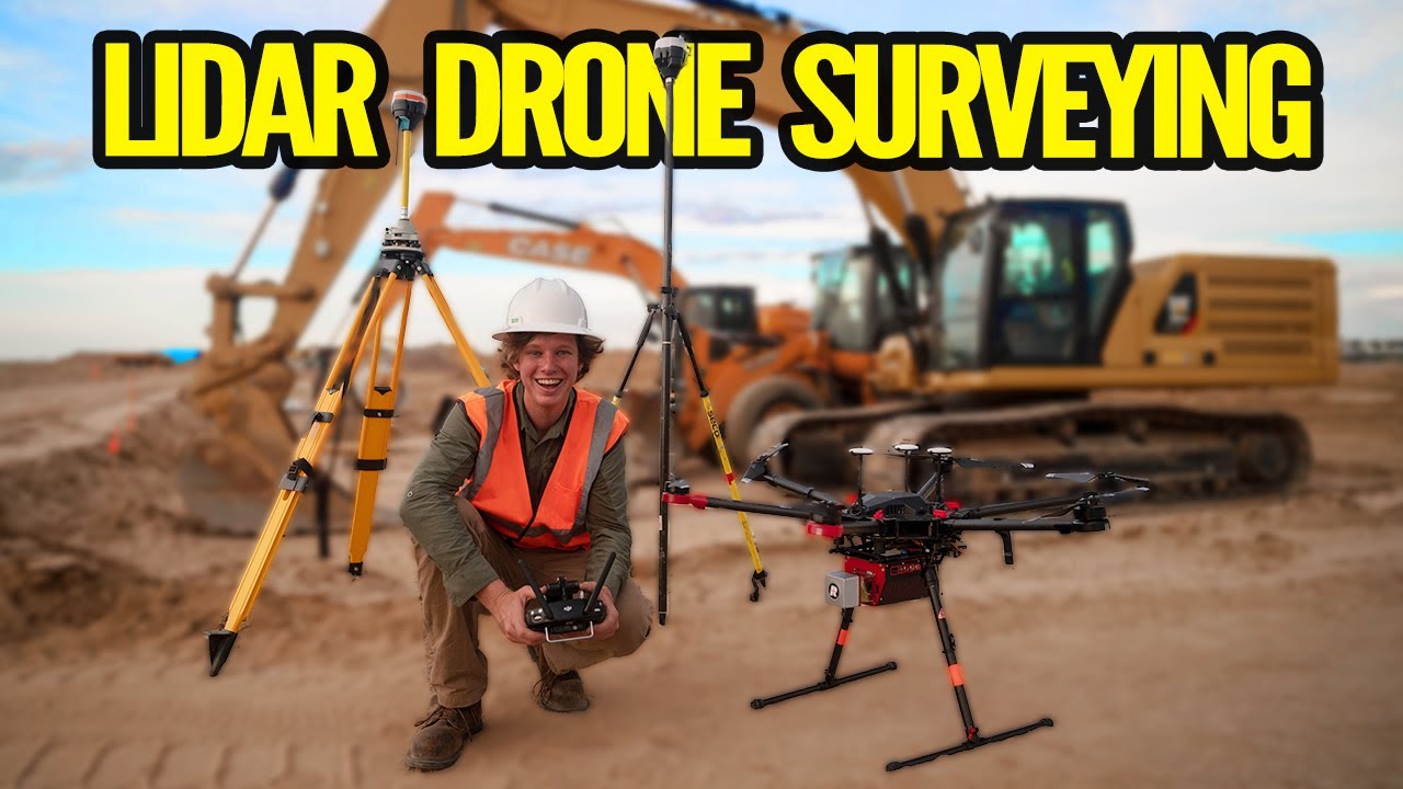
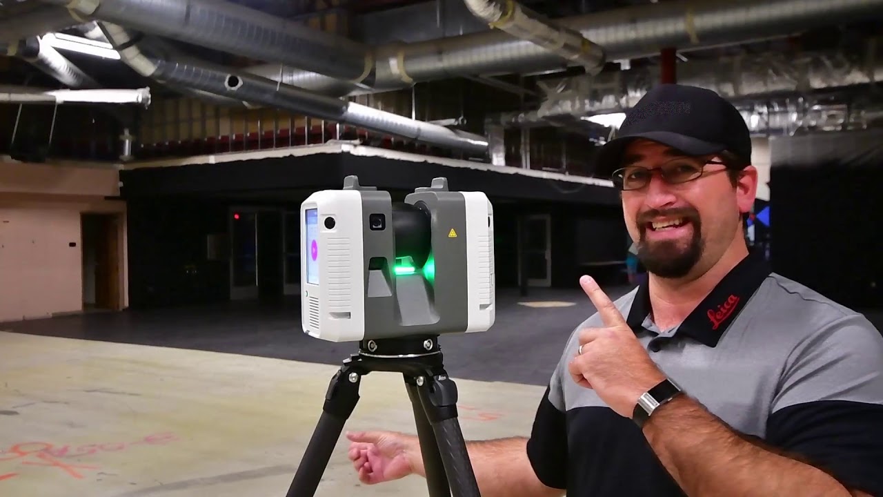
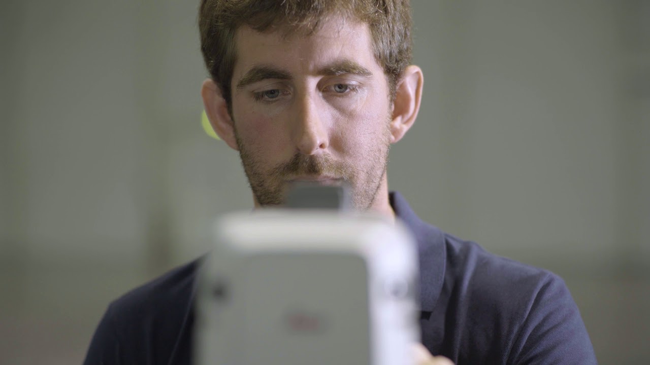
Digital transformation is everywhere. The use of 3D reality capture has become widely popular in recent years and allows us to connect the real world to the digital world. Leica Geosystems solutions digitise the environment by capturing millions of points per second and high resolution images.
With a full range of 3D solutions from the field to the office, Leica Geosystems is the ideal partner for you to enter the reality capture market to increase your productivity and efficiency on a daily basis. We are already supporting our customers in this digital transformation with dedicated workflows for various applications and environments. By ensuring simplicity, accuracy, and reliability in data collection, 3D reality capture solutions from Leica Geosystems guarantee increased productivity for both experienced and inexperienced users.
Are you looking for accurate, fast and complete solutions?
Learn more about our Laser Scanning portfolio: https://leica-geosystems.com/products...
Learn more about our Mobile Mapping portfolio: https://leica-geosystems.com/products...
Повторяем попытку...
Доступные форматы для скачивания:
Скачать видео
-
Информация по загрузке: