Open Source GIS Strategy: Data-First Architecture for US Enterprise Environments
Автор: Open Spatial
Загружено: 2026-03-05
Просмотров: 18
Описание:
Open source GIS has moved from optional to strategic across North America. Organizations are increasingly evaluating how technologies such as PostGIS, QGIS, and GeoServer can support modern, standards-based spatial platforms while maintaining control over data and long-term flexibility.
In this webinar, we discuss how a data-first approach supports cloud and hybrid deployments, strengthens integration with enterprise systems, and aligns with governance expectations common in US public and private sector environments.
Topics include:
• The role of open standards in reducing long-term dependency risks
• Structuring spatial data around OGC-aligned storage
• Operational ownership and managed vs internally supported models
• Addressing security, cloud readiness, and integration concerns
• Practical steps for introducing open source in a controlled, low-risk way
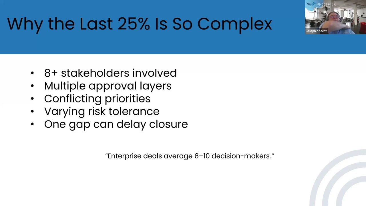
This session is particularly relevant for GIS and IT teams navigating procurement, compliance, and enterprise integration requirements in North American environments.
==========================
For more information, check out:
https://www.openspatial.com/
https://www.asconstructed.com/
Let's get social:
Twitter: / open_spatial
LinkedIn: / open-spatial
Повторяем попытку...
Доступные форматы для скачивания:
Скачать видео
-
Информация по загрузке: