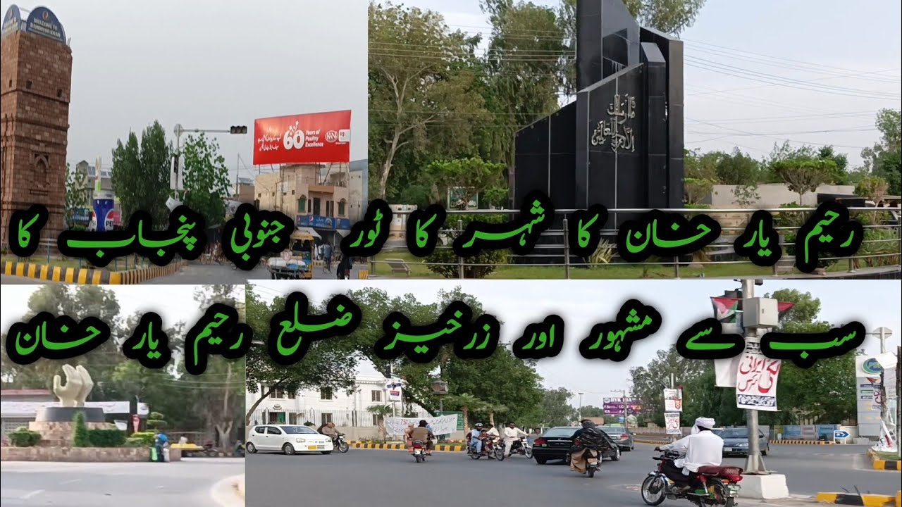
A city tour of Rahim Yar Khan | South Punjab Most Famous and Fertile District | Rahim Yar Khan
Автор: Ali Khanpuri
Загружено: 2024-04-14
Просмотров: 86
Описание:
#vlog #familyvlog #rahimyarkhan #ryk #travel
#rykcity #southpunjab
A city tour of Rahim Yar Khan | South Punjab Most Famous and Fertile District | Rahim Yar Khan
Rahim Yar Khan (Urdu: رحیم یار خان, romanized: Rahīm Yār Khān; Urdu pronunciation: [ɾəɦiːm jɑːɾ xɑːn]) is a city in the Punjab province of Pakistan. It is the 16th largest city of Pakistan by population. It is the capital of the Rahim Yar Khan District. The administration of the city is subdivided into nine Union Councils
Famous Places
City Pull
City Centre
Royal Desert Palm Hotel
Taj Mahal Marquee
Etihad Club
Shaikh Zayed International Airport
Gulberg Town
Dari Sangi Canal
KFUEIT
Etihad Town
Zam Zam Ladies Park
Jugnoo Park
City Park RYK
Press Club Chok
Town Hall
Abbasia Under Pass
Govt. Khawaja Fareed Graduate College
Dua Chowk
Bhong Mosque
Patan Minara
Islam Garh Fort
It has been renamed several times over the last 5,000 years. The earliest recorded name was AROR or ALOR, and then it became City of Pattan, Phul Wada, Noshehra and now Rahim Yar Khan. The ancient tower of Pattan Minarah stands 13 km to the south of the city center in its original form. Ummayads led by Muhammad Bin Qasim conquered the cities of Uch and Multan after conquest of Sindh. After that Arabs ruled the vast areas of Punjab including Rahim Yar Khan region.[3]
Rahim Yar Khan region was part of Multan province of Mughal Empire.[4] In 1881, Nawab of Bahawalpur gave the city its current name by naming it after his first-born son and crown prince Rahim Yar Khan.
Rahim Yar Khan has had the status of a separate district since 1943. The district derives its name from its headquarters, the city of Rahim Yar Khan, which was known as "Naushehra" until 1881. To avoid confusion with the similarly named city of Nowshera, the ruler of Bahawalpur, Nawab Sadiq Khan IV, renamed it after his first son, Rahim Yar Khan
Universities and colleges
edit
Army Public School and College
Islamia University of Bahawalpur, RYK campus
Khawaja Fareed University of Engineering and Information Technology
National College of Business Administration and Economics
Punjab Colleges
Shaikh Zayed Medical College and Hospital
Schools
edit
Beaconhouse School System
The City School (Pakistan)
Lahore Grammar School
[ AAK Academy ]]
Notable people
edit
Aima Baig, singer
Asim Saleem Bajwa, Lieutenant general (Pakistan)
Talha Chahour, actor
Saima Akram Chaudhry, pakistani screenwriter
Abdullah Darkhawasti, Pakistani Sunni Islamic scholar
Fida-Ur-Rehman Darkhawasti, Pakistani Islamic scholar, academic and politician
Muniba Mazari, activist
The district of Rahim Yar Khan is subdivided into four tehsils:
Khanpur[3]
Liaqatpur[3]
Rahim Yar Khan
Sadiqabad[3]
The entire district was a part of the Bahawalpur State. Rahim Yar Khan has had the status of a separate district since 1943. The district derives its name from its headquarters, the city of Rahim Yar Khan, which was known as "Naushehra" until 1881. To avoid confusion with the similarly named city of Nowshera, the ruler of Bahawalpur, Nawab Sadiq Khan IV, renamed it after his first son, Rahim Yar Khan.
The district lies between 27°40'-29°16' north latitudes and 60°45'-70°01' east longitudes. The riverain area of the district lies close to eastern bank of the river Indus and Panjnad. The Rahim Yar Khan District is bounded on the north by Muzaffargarh District, on the east by Bahawalpur District, on the south by Jaisalmer district (India) and Ghotki District of Sindh province, and on the west by Rajanpur District. It also has two enclaves within Sindh, bordered by Ghotki District and Kashmore District.
This district is divided into three main physical features: (a) Riverside area, b) canal-irrigated area, and (c) desert area which is called Cholistan. The Riverside area of the district lies close on the southern side of the Indus river mainly falling in the river bed. The canal-irrigated area lies on the south and is separated by main Minchan Bund. The approximate height of the irrigated area is 150 to 200 meters (490 to 655 ft) above sea level. The third part of the area, called Cholistan, lies in the south of the irrigated tract up to the Indo-Pak border. The surface of the desert consists of a succession of sand dunes rising at places to a height of 150 meters (492 ft) and covered with the vegetation peculiar to sandy tracts.
Повторяем попытку...
Доступные форматы для скачивания:
Скачать видео
-
Информация по загрузке: