How to Detect LULC Change Between Two Years | ArcGIS | Land Use Land Cover Change Analysis
Автор: Tirtha Kshetri
Загружено: 2026-02-06
Просмотров: 7
Описание:
How to Detect LULC Change Between Two Years | ArcGIS | Land Use Land Cover Change Analysis:
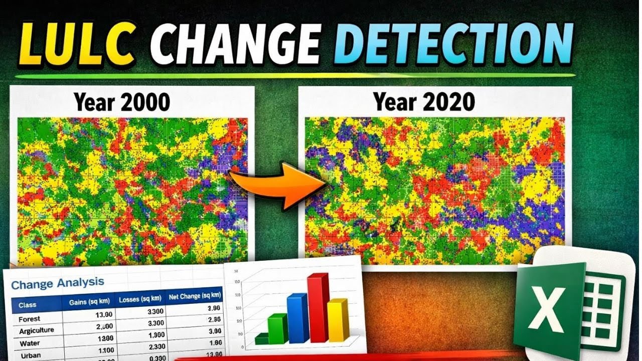
n this video, I demonstrate Land Use Land Cover (LULC) change detection between two different years using classified LULC maps.
The tutorial explains a simple and practical method to quantify LULC changes, convert results into tabular format in Excel, and visualize changes using bar graphs.
This method is useful for GIS students, researchers, environmental scientists, and planners working on land use change analysis, remote sensing projects, or academic research.
🔹 Topics covered in this video:
✔ LULC change detection concept
✔ Comparing LULC maps of two different years
✔ Preparing change detection table in Excel
✔ Calculating area change (gain, loss, net change)
✔ Creating bar graphs for LULC change analysis
🔹 Applications:
• Land use planning
• Environmental impact assessment
• Urban growth analysis
• Forest cover change studies
• Research and thesis work
How to make LULC Map: • How to make LULC map using Sentinel 2 in A...
Copyright Disclaimer: - Under section 107 of the copyright Act 1976, allowance is mad for FAIR USE for purpose such a as criticism, comment, news reporting, teaching, scholarship and research. Fair use is a use permitted by copyright statues that might otherwise be infringing. Non- Profit, educational or personal use tips the balance in favor of FAIR USE.
Повторяем попытку...
Доступные форматы для скачивания:
Скачать видео
-
Информация по загрузке:


![Как происходит модернизация остаточных соединений [mHC]](https://imager.clipsaver.ru/jYn_1PpRzxI/max.jpg)