4k60p長江第一彎( 中國遺產)世界三級 qinghai china
Автор: 港台華人HK
Загружено: 2020-02-14
Просмотров: 2713
Описание:
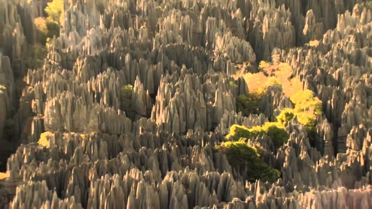
青海省地勢總體呈西高東低,南北高中部低的態勢,西部海拔高峻,向東傾斜,呈梯型下降,東部地區為青藏高原向黃土高原過渡地帶,地形復雜,地貌多樣。青海省地貌復雜多樣,五分之四以上的地區為高原,東部多山,西部為高原和盆地,兼具青藏高原、內陸幹旱盆地和黃土高原三種地形地貌,屬高原大陸性氣候,地跨黃河、長江、瀾滄江、黑河4大水系,是一個很特殊的地理位置。
The terrain of Qinghai Province in China is generally high in the West and low in the East, high in the South and high in the north. The altitude in the west is high and steep, inclining to the East, and descending in a ladder type. The eastern area is the transition zone from the Qinghai Tibet Plateau to the Loess Plateau, with complex terrain and diverse landforms. Qinghai Province has complex and diverse landforms. More than four fifths of the area is plateau, the East is mountainous, and the west is plateau and basin. It has three kinds of landforms, namely, the Qinghai Tibet Plateau, the inland arid basin and the Loess Plateau. It belongs to the plateau continental climate. It crosses four major water systems, namely the Yellow River, the Yangtze River, the Lancang River and the Heihe River. It is a very special geographical location.
Повторяем попытку...

Доступные форматы для скачивания:
Скачать видео
-
Информация по загрузке: