Skadi Tilt Compensation™ Field Demonstration
Автор: Eos Positioning Systems Inc.
Загружено: 2025-07-29
Просмотров: 527
Описание:
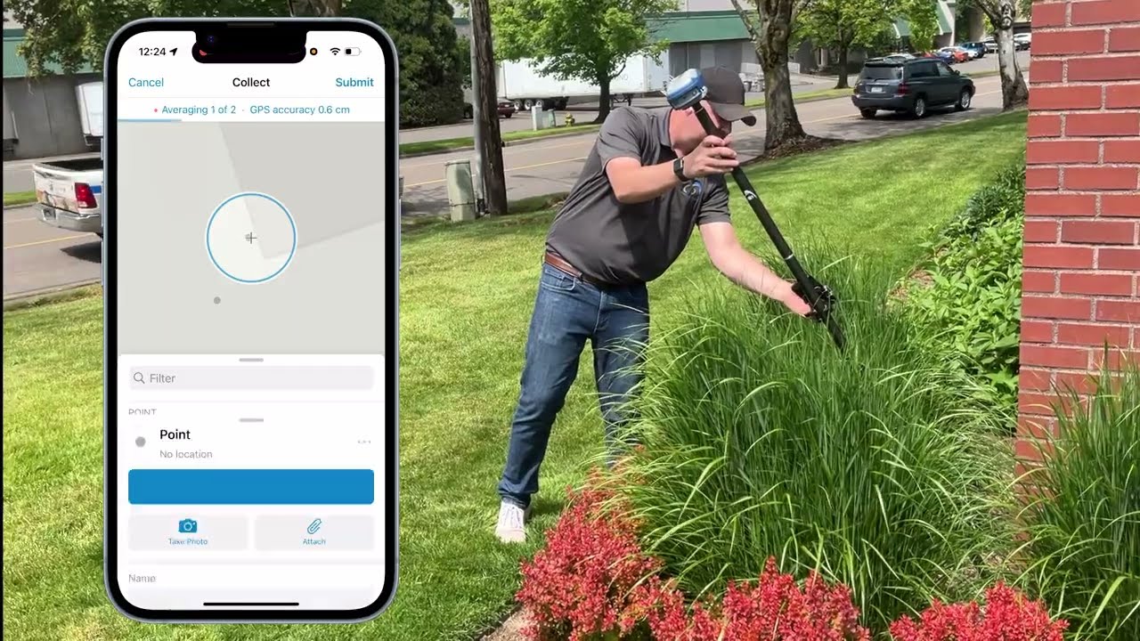
In this video, GNSS Technical Expert Tyler Gakstatter demonstrates the Skadi Tilt Compensation™ solution from Eos Positioning Systems®. This step-by-step walkthrough shows you how to enable and use tilt compensation with your Skadi RTK GNSS receiver to improve accuracy, efficiency, and safety during field work. You’ll also discover how Skadi Tilt Compensation can help you save valuable time through various real-world data-collection examples with ArcGIS® Field Maps.
Watch as Tyler demonstrates the following:
00:00 – Introduction to Skadi Tilt Compensation
00:31 – Mounting Your Skadi GNSS Receiver to a Range Pole
00:55 – Connecting Your Skadi GNSS Receiver via Bluetooth®
01:16 – Using Eos Tools Pro with Skadi Tilt Compensation
01:49 – Enabling Skadi Tilt Compensation
02:13 – Skadi Tilt Compensation Settings in ArcGIS Field Maps
02:56 – Mapping Parking Lot Lines with ArcGIS Field Maps
04:45 – Mapping Under a Vehicle with ArcGIS Field Maps
05:49 – Mapping Against a Building with ArcGIS Field Maps
06:35 – Conclusion
Learn more about Skadi Tilt Compensation:
https://eos-gnss.com/products/solutio...
Повторяем попытку...
Доступные форматы для скачивания:
Скачать видео
-
Информация по загрузке: