Скачать
L-SECTION AND X-SECTION OF ROADWAY USING DEM FROM SURVEY DATA IN ARCGIS | GEOMATICS ENGINEERING
Автор: Geomatics Engineering
Загружено: 2020-06-30
Просмотров: 243
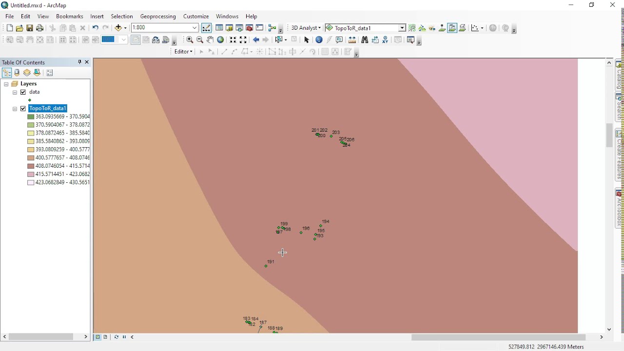
Описание: Cross section and Longitudinal sections are the most essentials for any road project as well other alignment survey project. With the help of ArcGIS, one can easily generate cross section and profile from digital elevation model of the alignment route. The 3D-analyst tool in ArcGIS facilitates generating these section . This can also allow for customization of drawing and presenting them into map layout.
Не удается загрузить Youtube-плеер. Проверьте блокировку Youtube в вашей сети.
Повторяем попытку...
Повторяем попытку...
Доступные форматы для скачивания:
Скачать видео
-
Информация по загрузке: