Map, Plan & Spray: XAG P150 Max Built-In Field Mapping
Автор: XAG Australia
Загружено: 2026-01-19
Просмотров: 59
Описание:
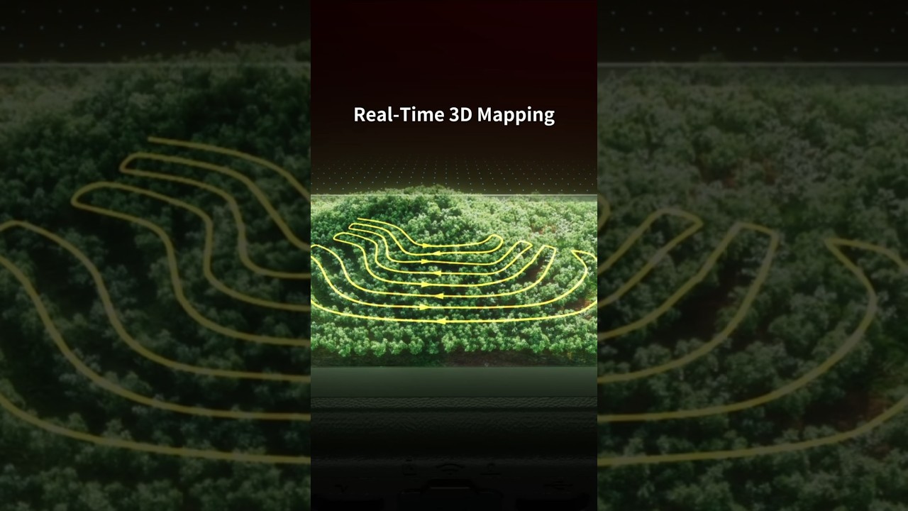
Say goodbye to expensive mapping software and the need for a separate survey drone. The XAG P150 Max now features built-in HD field mapping that works completely offline—perfect for remote paddocks with no signal. 📶🚫
In this video, we show you how the P150 Max streamlines your workflow. Simply conduct an aerial survey, land the aircraft, and watch as an accurate HD map is automatically processed right on your controller. No internet connection, no file importing, and no module swapping required.
Key Features:
✅ 100% Offline: Map and process data without a network connection.
✅ Cost Saving: No need for dedicated mapping drones or costly software subscriptions.
✅ Fast Turnaround: Maps are ready immediately after landing.
✅ Centimetre Accuracy: Plan flight paths on high-res HD maps, not blurry satellite images.
✅ One App Workflow: Map, plan, and spray all within the XAG One account.
Learn more about the P150 Max:
🔗 https://xag-au.com/p150-max
Have questions? Contact us for a demo:
[email protected] | +61 (2) 9168 7918
#XAG #P150Max #DroneMapping #AgTech #SmartFarming #Agriculture #Australia
Повторяем попытку...
Доступные форматы для скачивания:
Скачать видео
-
Информация по загрузке:


