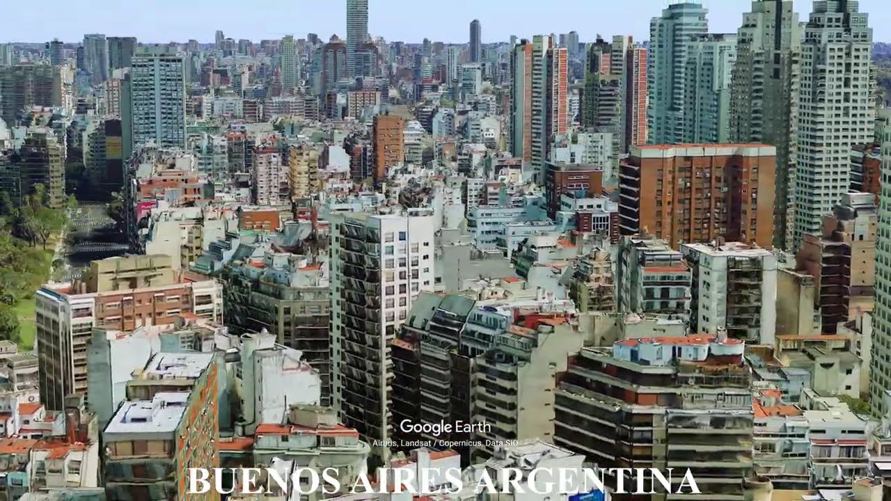
Buenos Aires Argentina - Geography of a River Delta Megacity
Автор: Earth Views
Загружено: 2026-02-06
Просмотров: 42
Описание:
Buenos Aires is built along the western edge of the Río de la Plata, one of the world’s largest estuaries. Its flat pampas terrain allowed rapid horizontal expansion, while river access defined trade, port development, and national growth. Low elevation, soft soils, and proximity to flood-prone waterways continue to shape infrastructure, drainage systems, and urban planning across the metropolitan region.
This video uses Google Earth imagery to show how geography shapes cities and sites.
Geography text adapted from Wikipedia, article: Buenos Aires, Licensed under CC BY-SA 4.0
https://en.wikipedia.org/wiki/Buenos_...
#BuenosAires #BuenosAiresArgentina #Argentina #ArgentinaCities #SouthAmerica #RiverDelta #EstuaryCity #FlatTerrain #UrbanGeography #CityGeography #Geography #GoogleEarth #EarthDiscoverExplore
Повторяем попытку...
Доступные форматы для скачивания:
Скачать видео
-
Информация по загрузке: