Ground-Water "Day Zero" Maps ...🗺️📍
Автор: Mr.Trending Creator
Загружено: 2026-01-08
Просмотров: 1119
Описание:
Is your city running out of water? 🚰🛑
It’s 2026, and the "Day Zero" threat is no longer a guess. While India extracts 25% of the world’s groundwater, we are finally fighting back with tech. 🛰️🤖
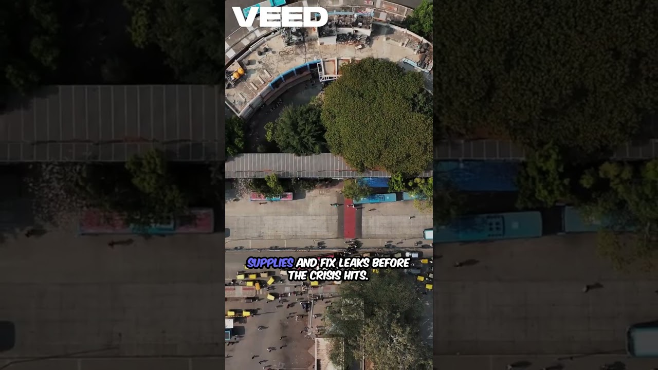
In this video, we dive into how AI-powered GIS mapping and IoT sensors are changing the game. Gone are the days of waiting for the taps to go dry—neighbourhood-level predictive maps now show exactly where the water table is dropping months in advance. From Bengaluru's high-tech grids to Delhi’s critical zones, see how data is becoming our most valuable resource in the fight for every drop.
Key Highlights: 📍 Predictive Mapping: Neighbourhood-level risk alerts (Red/Yellow/Green). 🛰️ Satellite Insights: Using GIS to see "invisible" groundwater depletion. 💧 Smart Rationing: How city officials are using a "cheat code" to manage supplies before the crisis hits.
Check your city’s status: Don't wait for a dry pipe. Use these official tools to see if your neighbourhood is in the Red Zone:
👉 WRI Aqueduct Water Risk Atlas: https://www.wri.org/applications/aqueduct/...
👉 India-WRIS (Water Resources Information System): https://indiawris.gov.in/wris/
Stay Informed. Save Water. Share this to alert your community. 🌍
#DayZero2026 #IndiaWaterCrisis #SaveWater #SmartCitiesIndia #ClimateTech #Groundwater #BengaluruWater #DelhiWater #WaterConservation #Sustainability #AIforGood #GISMapping #shorts
Повторяем попытку...
Доступные форматы для скачивания:
Скачать видео
-
Информация по загрузке:


