Britain Was Mapped for War - And We Still Use the System Today 🇬🇧
Автор: The British Manual
Загружено: 2026-09-01
Просмотров: 63
Описание:
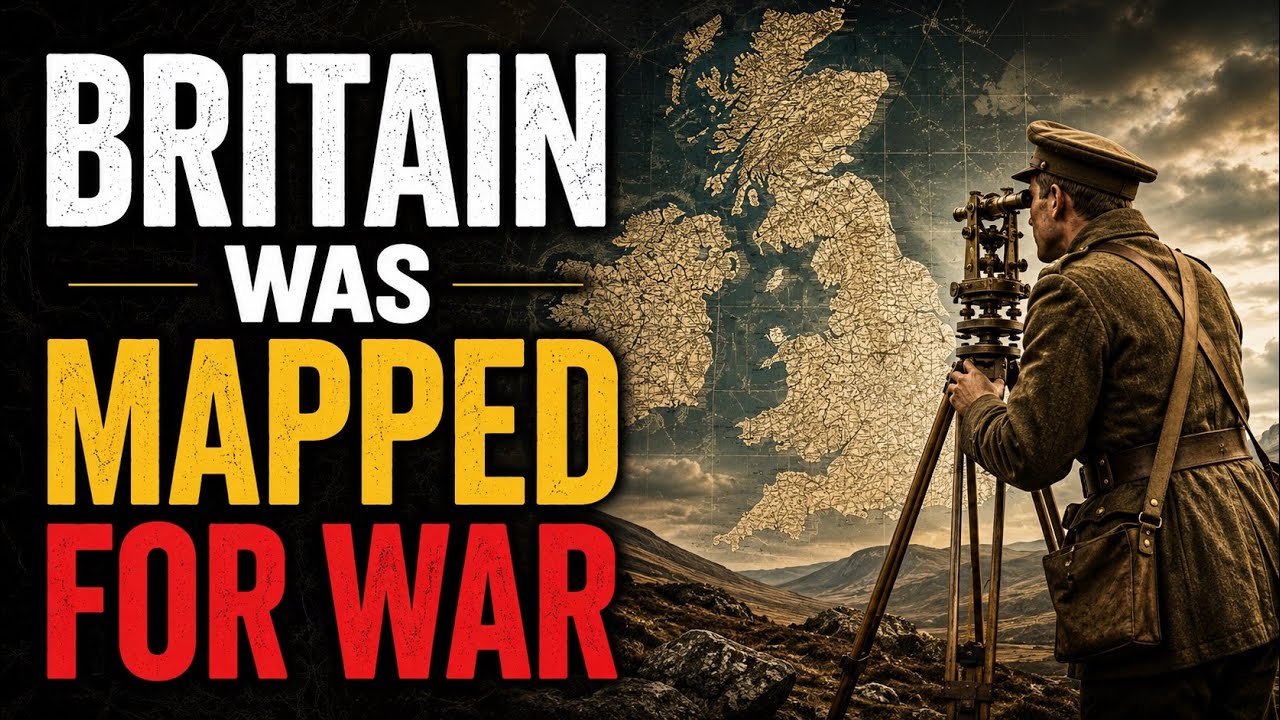
Ordnance Survey maps are familiar to millions of people across Britain — but the system has its roots in military defence.
After the Jacobite rising of 1745, military engineer William Roy began surveying Scotland. Decades later, increasingly accurate surveys, triangulation and the threat of invasion from France helped lead to the birth of Ordnance Survey.
What began as a way of understanding Britain for defence eventually developed into something much bigger. Today, geographic data helps identify and connect the places that make up modern Great Britain — right down to individual addressable locations through systems such as UPRNs.
From military engineers and enormous imaginary triangles to digital geographic data, this is the story of how Britain began systematically mapping itself.
🇬🇧 The British Manual — Making Sense of Britain.
Subscribe for more stories about the British systems, places and everyday things hiding in plain sight.
#OrdnanceSurvey #BritishHistory #HiddenBritain #BritishFacts #TheBritishManual
Повторяем попытку...
Доступные форматы для скачивания:
Скачать видео
-
Информация по загрузке: