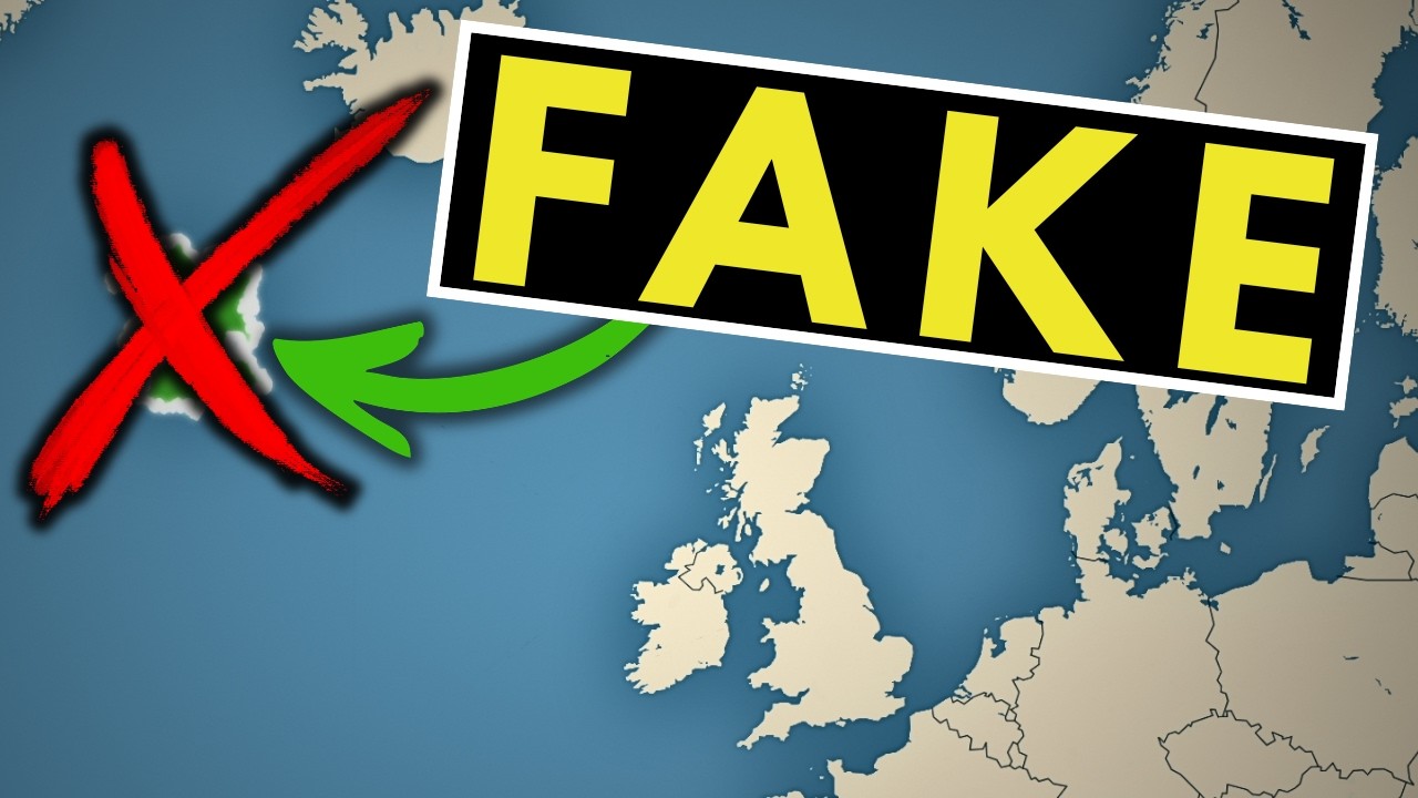
Why This Fake Island Was On Maps For Centuries
Автор: Mapped Out
Загружено: 2026-02-27
Просмотров: 402
Описание:
For over a century, a phantom island named Frisland appeared on world maps, a geographical catfish that fooled cartographers. This video explores the true story behind this lost island, revealing how one man's ambition led to a history of widespread cartography errors. It's a fascinating look into "geography myths" and how something entirely "fake" can become so real on paper. 🗺️
In this video, you’ll discover:
📍 How Frisland appeared on the most "accurate" maps of the Renaissance.
⛵ The explorer who "found" Frisland (even though it wasn't there).
🕵️♂️ The fake documents that started a 100-year-long game of geographical telephone.
🌊 Why it took centuries for mapmakers to finally "delete" the island.
The story of Frisland is a powerful reminder that even the most trusted sources can be wrong. And that sometimes, history is shaped by a really good lie.
---
🔗 Related Video:
Check out my video on The Mysterious Island Google Maps Had to Delete: • The Mysterious Island Google Maps Had To D...
🔔 Subscribe for more:
If you love deep dives into weird geography, cartographic catastrophes, and historical mysteries, hit that subscribe button and turn on notifications!
#Geography #History #Maps #Frisland #PhantomIslands #Mystery #Cartography #Educational
Повторяем попытку...
Доступные форматы для скачивания:
Скачать видео
-
Информация по загрузке: