ASKTERRA Quick Start | Change Detection & Risk Modeling Made Easy
Автор: ASKTERRA
Загружено: 2025-10-15
Просмотров: 25
Описание:
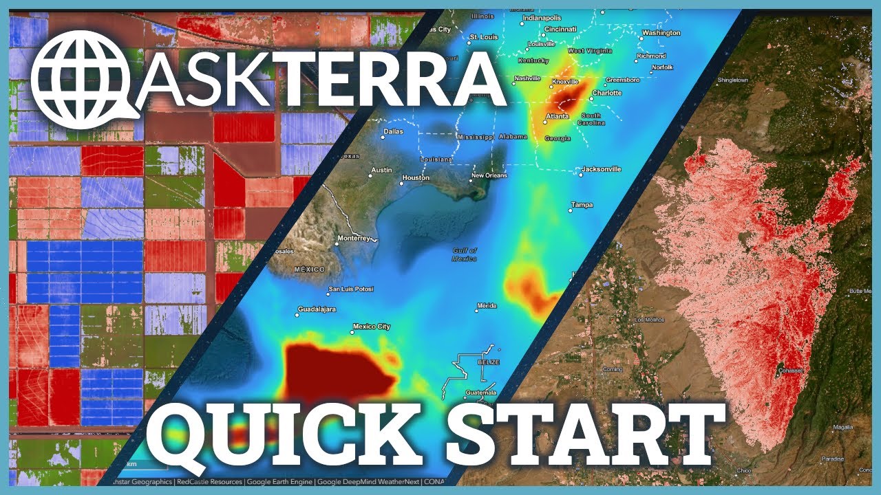
New to ASKTERRA? This quick start guide shows you how to get up and running in minutes. Learn how to run change detection analysis with Landsat and Sentinel-2 satellite imagery and forecast weather and risk with Google DeepMind's WeatherNext—all through simple conversation. Whether you're interested in agricultural monitoring, forestry analysis, weather forecasting, or more, this tutorial will have you creating professional GIS outputs fast.
🌍 What is ASKTERRA?
ASKTERRA is a conversational GeoAI platform that makes professional-grade geospatial analysis accessible to everyone. Whether you're analyzing deforestation, monitoring agriculture, assessing climate risks, or tracking weather patterns, ASKTERRA turns complex GIS workflows into seconds-long conversations.
🎯 Perfect For:
✓ Agriculture & crop monitoring
✓ Forestry & timber management
✓ Change detection & land use analysis
✓ Weather forecasting & risk assessment
✓ Disaster management & hazard mapping
✓ Public health analysis (temperature, weather events)
✓ Environmental consulting & conservation
✓ Urban planning & infrastructure
✓ Climate analysis & geomorphology research
✓ Insurance risk modeling
✓ and more!
⚡ Key Features:
Export data for use in traditional GIS software
Natural language queries for satellite imagery analysis
Perfect for both GIS beginners and experts
Near-instant change detection with Landsat & Sentinel-2
Weather and risk forecasting models
Geographic analysis without the learning curve
Whether you're a scientist, policymaker, urban planner, or environmental professional, ASKTERRA eliminates interface friction and delivers actionable geospatial insights fast.
🔗 Learn More: www.askterra.io/about
#GoogleEarthEngine #GIS #SatelliteImagery #ChangeDetection #AI #Mapping #WeatherForecasting #Landsat #Sentinel2 #Geospatial #ClimateAnalysis #Agriculture #Forestry #RiskAssessment #EnvironmentalMonitoring #PublicHealth #Geomorphology #WildfireAssessment #HurricaneForecasting
Повторяем попытку...
Доступные форматы для скачивания:
Скачать видео
-
Информация по загрузке: