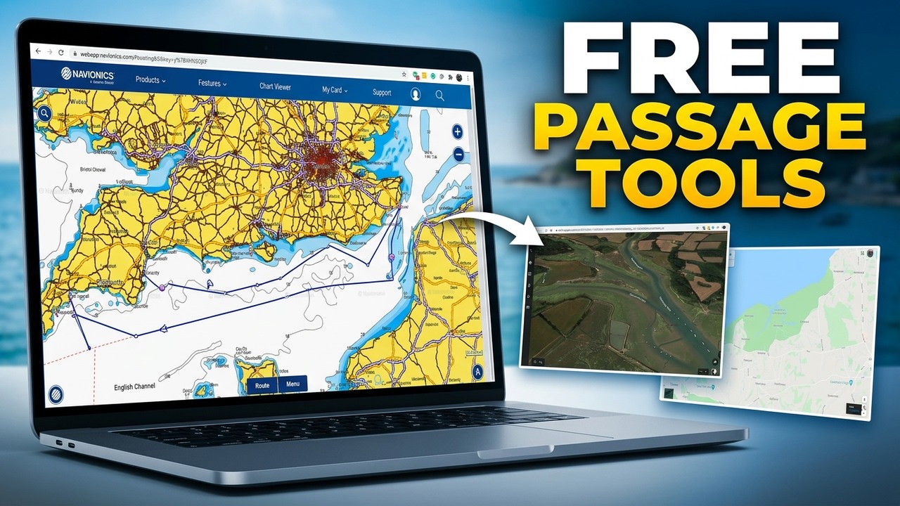
Free Passage Planning Tools for Sailors | Navionics, Google Earth & Maps
Автор: City Sailing
Загружено: 2020-07-08
Просмотров: 7077
Описание:
Learn how to plan a safe and effective sailing passage using the Navionics Web Application together with free online tools such as Google Earth and Google Maps.
In this City Sailing tutorial, we explore how modern electronic resources can support traditional navigation and help you prepare a clear and well-researched passage plan.
This lesson is ideal preparation for the Royal Yachting Association (RYA) Day Skipper course, introducing the electronic navigation concepts required for passage planning.
In this video, we cover:
⚓ Using the Navionics Web App for passage planning
⚓ Gathering navigational information online
⚓ Using Google Earth for visual route awareness
⚓ Using Google Maps to research ports and hazards
⚓ Preparing before going to sea using free tools
All of these resources are freely available and provide excellent support when preparing your sailing passages.
This tutorial forms part of the City Sailing Day Skipper Navigation Series.
🌐 www.citysailing.com
👍 Subscribe for more RYA navigation tutorials, sailing skills, and seamanship training.
00:00 Introduction
00:40 Why Passage Planning Matters
01:30 Navionics Web Application Overview
03:30 Planning a Route
06:10 Using Google Earth for Navigation
08:20 Using Google Maps for Research
10:40 Combining Free Planning Tools
13:00 Day Skipper Navigation Tips
15:00 Summary
Повторяем попытку...
Доступные форматы для скачивания:
Скачать видео
-
Информация по загрузке: