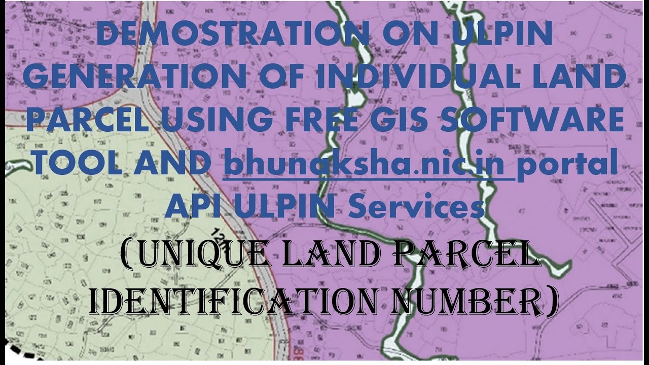
ULPIN - Unique Land Parcel Identification Number Generation using Georeferenced Cadastral map
Автор: ashok makwana
Загружено: 2024-09-12
Просмотров: 372
Описание:
Hi,
Note on ULPIN Value Generation Training and Demonstration Video
This training and demonstration video provides a comprehensive guide to the process of generating Unique Land Parcel Identification Numbers (ULPINs). The video is divided into four key segments:
1. Cadastral Map Georeferencing:
o Objective: Align cadastral maps with Google Satellite imagery to ensure accurate spatial referencing.
o Description: This segment demonstrates the process of georeferencing a cadastral map by matching it with Google Satellite imagery. Accurate georeferencing is crucial for ensuring that the land parcel data corresponds correctly with real-world locations.
2. Shapefile Creation:
o Objective: Create a shapefile that outlines land parcels with survey number attributes.
o Description: This part of the video covers the creation of a shapefile representing land parcels as polygon features. The shapefile includes attributes such as survey numbers, which are essential for identifying and managing land parcels.
3. Export Geocoded Data to CSV:
o Objective: Convert geocoded data into CSV format using WKT (Well-Known Text) for multi-polygons.
o Description: The video demonstrates how to export geocoded data from the shapefile into a CSV file, with land parcel information formatted in WKT. This CSV file is used as input for the ULPIN generation process.
4. Input to the get_ulpin API Using POSTMAN:
o Objective: Utilize the get_ulpin API to generate ULPINs.
o Description: The final segment shows how to use POSTMAN, an API testing platform, to send the CSV data to the get_ulpin API. This step involves configuring a POST request with the CSV data and other parameters to obtain ULPINs.
Important Note: The video is intended solely for demonstration and training purposes. The digitization quality demonstrated may be suboptimal, but the focus is on illustrating the overall process of generating ULPINs.
Additional Context: Various states have implemented ULPINs and displayed them on their 7x12 online forms. Some examples shown in the video are used for training and demonstration purposes only.
This guide should provide viewers with a clear understanding of the ULPIN generation process, from map georeferencing to API integration.
Повторяем попытку...
Доступные форматы для скачивания:
Скачать видео
-
Информация по загрузке: