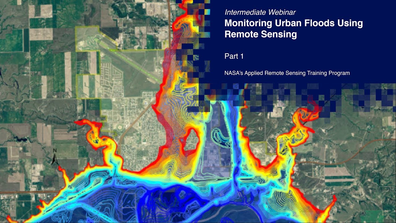
NASA ARSET: Overview of Urban Flooding, Part 1/2
Автор: NASA Video
Загружено: 2020-06-17
Просмотров: 10639
Описание:
Monitoring Urban Floods Using Remote Sensing
Part One: Overview of Urban Flooding
This session will provide an overview of causes and risks associated with urban flooding. It will also go through data needs for flood management (before, during, and after flooding) and how to use remote sensing to monitor precipitation.
You can access all training materials from this webinar series on the training webpage:
https://arset.gsfc.nasa.gov/all/webin...
This training was created by NASA's Applied Remote Sensing Training Program (ARSET). ARSET is a part of NASA's Applied Science's Capacity Building Program. Learn more about ARSET: http://arset.gsfc.nasa.gov/
Повторяем попытку...
Доступные форматы для скачивания:
Скачать видео
-
Информация по загрузке: