🔴TORNADO ALERT - LIVE Multiscreen Coverage + Live Views, Scanner Feeds, & Radar Analysis
Автор: StarShip Adventures
Загружено: 2026-03-16
Просмотров: 1871
Описание:
🔴Multiscreen Severe Weather Coverage of Tonight's Dangerous Tornado Threat
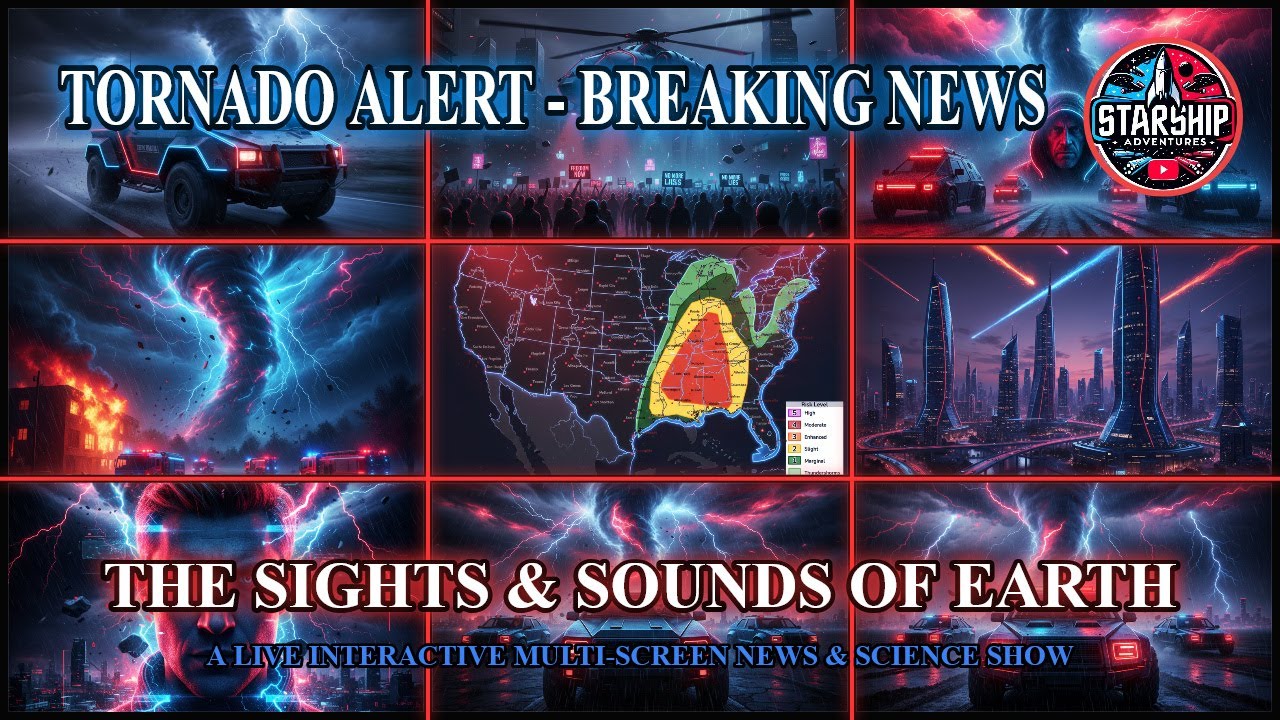
The Storm Prediction Center has an Enhanced Risk (Level 3/5) in effect right now for widespread severe thunderstorms this afternoon and evening across the Lower/Mid-Mississippi Valley, Lower Ohio Valley, Tennessee Valley, and parts of the Southeast. An intense squall line is already organizing and will race eastward tonight, bringing numerous to widespread damaging winds, embedded tornadoes, and a couple of strong (EF2+) tornadoes possible — especially across the Lower Ohio Valley into the Mid-South and Gulf Coast.
Scientific Breakdown of Tonight's Setup
A potent upper-level trough is digging in, paired with a surging cold front that acts as the main trigger. Rich Gulf moisture is streaming north with dew points climbing into the mid-60s °F, creating moderate-to-strong instability (CAPE values 1500–3000+ J/kg in the warm sector). Deep-layer shear is excellent (40–60+ knots), and low-level helicity supports rotation within the line. The result: a fast-moving Quasi-Linear Convective System (QLCS) capable of rear-inflow jets that accelerate winds to 60–80+ mph and spin up embedded circulations.
Storms will fire this afternoon, intensify into a solid squall line by evening, and continue pushing east overnight. Primary threats tonight:
Damaging winds — The dominant hazard, with widespread 60–75+ mph gusts and isolated higher.
Tornadoes — Embedded strong tornadoes possible, especially where the line interacts with any pre-frontal supercells or in the Lower Ohio Valley/Mid-South corridor.
Large hail — Up to 1–2 inches in any discrete cells ahead of the main line.
Heavy rain/flash flooding — With repeated rounds and training storms.
Tomorrow (Monday) the threat shifts east into a Moderate Risk (Level 4/5) for the Carolinas and Virginia, with the same line regenerating and posing an even higher risk of strong tornadoes and widespread wind damage across most of the eastern seaboard.
From my studio here in North Fort Myers, Florida, we'll have eyes on the entire system.
Join Us LIVE Starting at 6 PM EDT
I’m firing up the full multiscreen setup at 6:00 PM Eastern for dedicated severe weather coverage. You’ll get:
Live radar loops with SPC mesoanalysis overlays
Real-time storm-chaser video feeds
Emergency scanner audio
Aircraft tracking
Expert breakdown of the evolving line and any tornado warnings as they drop
We’ll stay on the air through the overnight hours if the line stays dangerous.
Then, at 9:00 PM Eastern, we roll straight into the full “The Sights & Sounds of Earth” broadcast — keeping the severe weather coverage front and center while adding live Middle East updates, space weather, science news, headlines, and any breaking developments.
This is exactly the kind of setup where things can escalate fast. Have your weather radio charged, know your safe spot, and stay with us.
Head over to @StarShipAdventures on YouTube right now, smash the notification bell, and join thousands of viewers who rely on our unfiltered, multi-screen coverage.
See you at 6 PM — let’s track this one together and stay safe out there.
#TheSightsAndSoundsOfEarth #IranConflict #OperationEpicFury #IsraelAttacks #SevereWeather #USProtests #AntiWarProtests #MojtabaKhamenei #TZOFARAlerts #LiveNews #MiddleEastWar #TornadoThreat #IranWar2026 #StarShipAdventures #AIMusic #PileUpRadio #BreakingNewsLive #TrumpIran #March2026
Повторяем попытку...
Доступные форматы для скачивания:
Скачать видео
-
Информация по загрузке: