Old Notom Road - Utah's Capitol Reef NP Area in 4K
Автор: Cactus Hill
Загружено: 2022-02-13
Просмотров: 2821
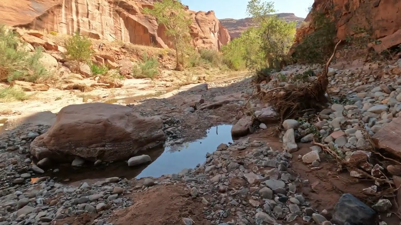
Описание: Old Notom Road, which is the subject of this video, is accessible by going approximately 3 miles past the turnoff to the Notom-Bullfrog Road (If you are coming from Capitol Reef NP on Utah Hwy 24) and making a sharp right onto “Old Notom Road” (Pronounced "No-Tom") . The turn is on a curve that goes left with a slight downhill so make sure you signal your right turn in plenty of time if you happen to have anyone following you. Again, slow down as it is an abrupt sharp right turn onto Old Notom Road. In the video we are coming from the South on the Notom-Bullfrog road and turn right (Northeast) on the Old Notom Road. Just a FYI…The “Old Road” will intersect his main Notom-Bullfrog Road in approximately 3 miles just a little North of the old town site of Notom. At that point you can either turn right and head back to Utah Highway 24 or turn left and head South along the Waterpocket Fold and eventually end up at the Bullfrog Marina or take a right (Approximately 20 miles) and head up the Burr Trail switchbacks. On several of our previous visits to the Old Notom Road it was generally for high clearance vehicles although not necessarily a 4-Wheel drive vehicle. For this trip, the "Old" road was in great condition so just about any vehicle could traverse this road. If there has been a recent rain or the road appears wet, I would advise not to drive this road. The road has some deep muddy spots and becomes slippery when wet. Also, there are portions of the road I would consider “Shelf Roads”. In this video you will see multiple hills of “Bentonite”. The Bentonite Hills appear as softly contoured, banded hills in varying hues of brown, red, purple, gray, and green. The hills are composed of the "Brushy Basin" shale member of the Morrison Formation. This layer was formed during Jurassic times when mud, silt, fine sand, and volcanic ash were deposited in swamps and lakes. Bentonite clay (altered volcanic ash) absorbs water and becomes very slick and gummy when wet, making vehicle or foot travel difficult or impossible. Repeated cycles of absorbing water and then drying results in a popcorn-like appearance on the clay's surface. There is a much larger area of “Bentonite Hills” just outside the Capitol Reef NP boundary that is accessible by using the Hartnet Road. This road is 4-Wheel drive only and is not too far from the area shown here in the video. Also, if you enter the Old Notom Road from Utah Hwy 24 (As I described earlier) on your right will be mounds of seashell fossils that look very similar to a snail shell. They are all over the place. The trick is to find one that is intact. For you “Rock Hounds”, the area that I flew the drone over is a good place to find pieces of agate. We have been there many times, and you can still find some nice pieces. Well, thanks for watching and remember “You won’t know if you don’t go!”
Повторяем попытку...

Доступные форматы для скачивания:
Скачать видео
-
Информация по загрузке: