Old Connecticut Path: Hiking the Path Along Mine Brook - Webster & Douglas, MA
Автор: Jason Newton
Загружено: 2012-01-05
Просмотров: 2348
Описание:
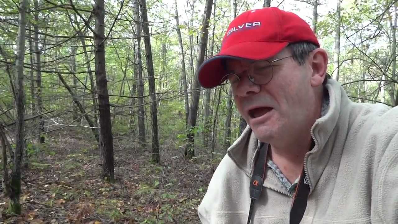
The Old Connecticut Path head northeast from "Dragon Pond" on Rawson Road in Webster, MA. The Path ascends the hill following Mine Brook passing over numerous stone bridges and stepping stones placed in the Path. At the top of the hill, the Path heads along the ridge to reach the lodge site located at the mid point between Manchaug Pond and Webster Lake. A complete description of the walk and map may be found at the Old Connecticut Path website
https://sites.google.com/site/oldconn...
The longest wilderness section of the Old Connecticut Path can be followed across the Douglas Woods located in Douglas and Webster, Massachusetts. The Path penetrates deep wilderness on its 4 mile route from Northwest Main Street in Douglas to Rawson Road in Webster.
The Douglas Woods contains 3,000 acres of Douglas State Forest north of RT16, 1,000 acres of Mine Brook Wildlife Management Area and hundreds of additional acres of town and private lands. The 4,000+ acres of woodland serves as wilderness retreat and a time capsule for the Old Connecticut Path. Stone bridges, box culverts, stepping stones placed to improve the path serve as reminders of the importance of the Path for early colonial travel. Field stone chimneys stand as silent reminders of the early settlers who came along the Path to claim their place in the wilderness.
Beaver ponds, vernal pools, chasms and streams are part of a diverse environment that supports wildlife species such as white-tailed deer, wild turkey, ruffed grouse, fisher, gray fox, and various salamanders. In addition, the large, unfragmented, forested block is important for Neotropical migrant birds such as scarlet tanagers, rose-breasted grosbeaks and broad-winged hawks. Resident birds such as pileated and red-bellied woodpeckers, white-breasted nuthatch, brown creeper and barred owl live within the vast green woodland.
The Douglas Woods lies between the site of the Manchaug praying village in West Sutton and the Chaubunagungamaug praying village on the shore of Webster Lake. The shortest route between these sites crosses the Douglas Woods from Manchaug Pond to the Narrows at Webster Lake.
The Old Connecticut Path follows the route of the stage road that improved the way during the earliest years of settlement. This route was bypassed as towns of Douglas and Oxford were settled with the way to Connecticut diverted to go through them. By 1725-1750, it is likely that the route of the Old Connecticut Path across the Douglas Woods fell out of use as the route from the Massachusetts Bay to Connecticut.
The Sutton Historical Society reported on "Secrets of the Douglas Woods". A copy may be viewed at the link below:
https://docs.google.com/open?id=0B9es...
The vast Douglas Woods provides a wonderful opportunity for exploring the Old Connecticut Path within a deep wilderness that has been preserved for centuries.
Please send any feedback, comments and/or suggestions to
[email protected]
Visit oldconnecticutpath on Facebook to post comments and follow updates to the website.
/ oldconnecticutpath
Повторяем попытку...
Доступные форматы для скачивания:
Скачать видео
-
Информация по загрузке: