Скачать
Change the Coordinate Reference System (CRS) in QGIS
Автор: Suborna Ahmed
Загружено: 2021-03-03
Просмотров: 11030
Описание:
In this instructional video you will learn how to:
Find the CRS codes which are compatible with QGIS from http://epsg.io/Links to an external site.
Change the CRS of the QGIS project.
Add a new CRS to raster and vector files.
Modify an existing CRS.
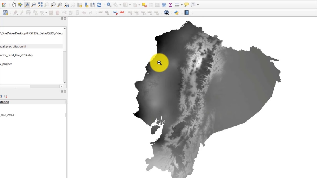
QGIS uses the EPSG (European Pretroleum Survey Group) codes format to identify the CRS. For our dataset from Ecuador, we selected "WGS 84 / UTM zone 17S" "EPSG:32717" from http://epsg.io/?q=ecuadorLinks to an external site.
Не удается загрузить Youtube-плеер. Проверьте блокировку Youtube в вашей сети.
Повторяем попытку...
Повторяем попытку...

Доступные форматы для скачивания:
Скачать видео
-
Информация по загрузке: