Proximity Analysis (A - Z Ultimate ArcGIS Guide with Pro Tips!! )
Автор: Seek Show School
Загружено: 2019-07-04
Просмотров: 8089
Описание:
#Seekshow #Subscribe #ProximityAnalysis #Lands
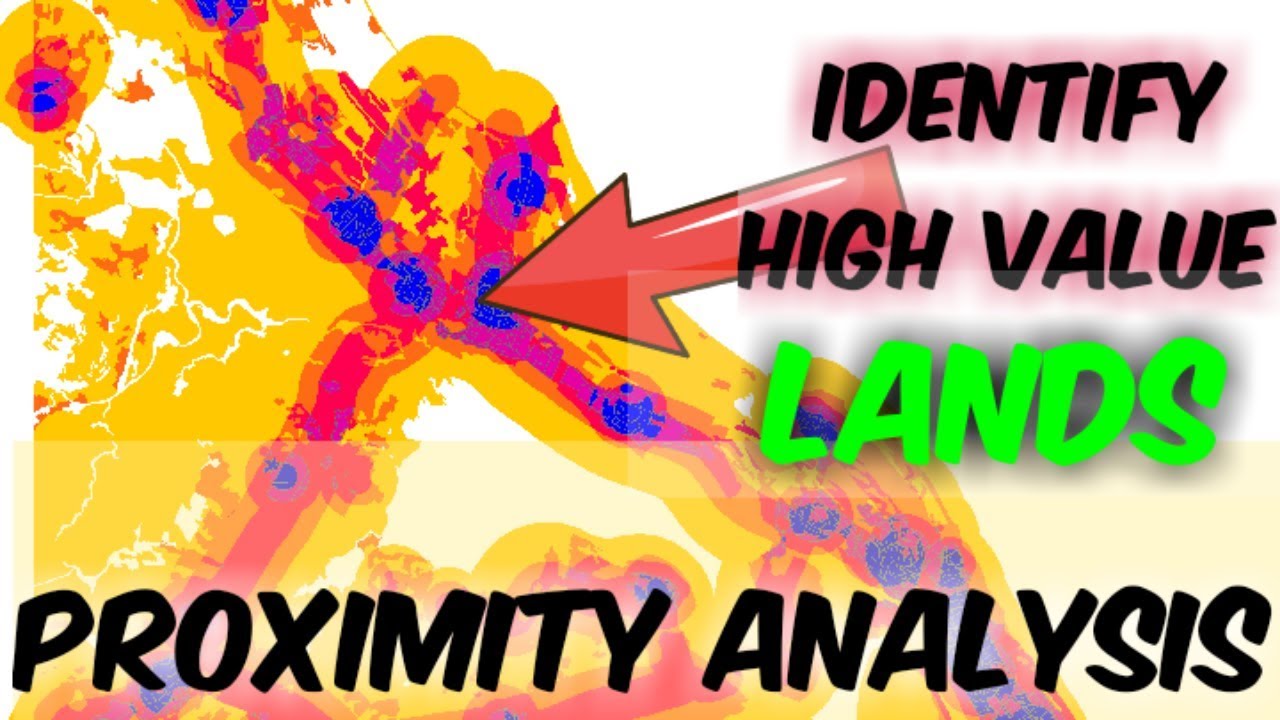
Proximity analysis is not so much easy, Coz we have to select many criteria and it's complicated, But here I have used only three criteria for better understanding. Keep watch till the end to get all of them in to your mind. This is a simple explanatory English tutorial about proximity analysis for land valuation. If you are confused please comment down here I'll help you.
Risk Analysis on Dengue fever tutorial - • Risk analysis on dengue fever arcgis and a...
If you want GIS Basics - • Introduction to ArcGIS interface - Full in...
==Fore More Education=
Thermal Infrared Remote Sensing: Sensors, Methods, Applications (Remote Sensing and Digital Image Processing Book :https://amzn.to/3eb2MgM
Advanced Environmental Monitoring with Remote Sensing Time Series Data and R: https://amzn.to/2AvIVuj
Estimating Land Surface Temperature From Space: A Remote Sensing Perspective: https://amzn.to/3hxDdIU
In this Channel I am talking a lot about these kind of educational and technology, Tips & Tricks, Motivational, Tutorial stuff. If you interested in watching more videos make sure to subscribe to my YouTube channel.
Thanks For Watching 👀
Don't Forget To Like And S U B S CR I B E for Seek Show - https://bit.ly/2Ra4xCM
°°°°°°°°°°°°°°°°°°°°°°°°°°^^^^^^^^^^^^^°°°°°°°°°°°°°°°°°°°
Check Below Playlists For More Videos in My Channel ⤵️
👉 Let's Learn ArcGIS - • Видео
👉 Tech Track Show - • Simple trick to find hidden YouTube video ...
👉 Best Android Games - • Highly addictive Android games 2017
👉 Around Sri Lanka - • Patna Deniyaya (Sri Lanka ) SlideRock Fun
👉 Motivational - • Motivational
°°°°°°°If you found this video valuable°°°°°°°
Hit Like 👍
Share 🤲
Comment 🗣 .
-Follow Important Links & Join ‼️-
✅ Instagram - / seek_show
✅ Twitter - / seek_show
✅ Facebook - / seekshowleenath
💟 🤫💯 Personal Instagram - / wymukthi_srilankanlifenotes
✅ For Sponsorships & Offers - [email protected]
Register for any professional work (Graphics and Design, Digital Marketing, Video Animation, Writing Translation, Programming Tec, Business, Life Style & get up to 100$ - http://www.fiverr.com/s2/ceccb2c3c3
Contact me here if you need my ArcGIS Mapping Services
,
1. To Design Professional Maps For You Data - https://www.fiverr.com/leenathwymkthi...
2. To Do Any Custom Gis Work Accurately - https://www.fiverr.com/leenathwymkthi...
3. To Create Professional Maps For Your Data - https://www.fiverr.com/leenathwymkthi...
4. To Design Professional Gis Maps For You - https://www.fiverr.com/leenathwymkthi...
Повторяем попытку...
Доступные форматы для скачивания:
Скачать видео
-
Информация по загрузке: