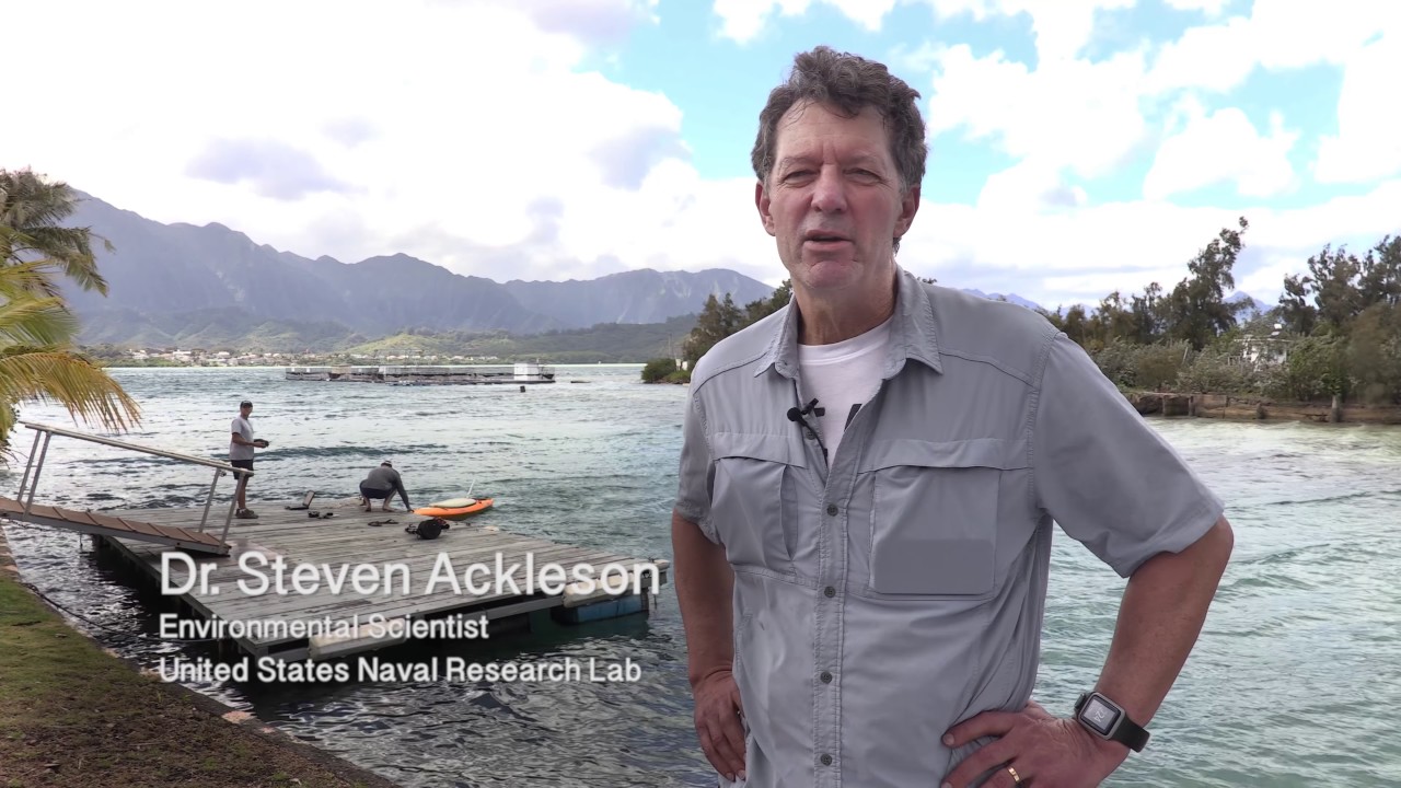
From the Ground Up: Building an Earth Science Satellite (HyspIRI Hawaii, Part 2)
Автор: NASA Video Collection
Загружено: 2017-07-27
Просмотров: 22
Описание:
In this 2-minute, 37-second video, the Airborne Visible/Infrared Imaging Spectrometer (AVIRIS) flies high aboard NASA’s ER-2, using over 224 sensors to identify, measure, and monitor natural features of the Earth's surface and atmosphere based on reflective light from the sun. The instrument was recently used for the Hyperspectral InfraRed Imager (HyspIRI) airborne preparatory mission, which focused on observing coral reef health and volcano emissions and eruptions around the Hawaiian Islands. Data from this mission will help develop a NASA satellite to study natural hazards and ecosystems.
The Airborne Visible and Infrared Imaging Spectrometer (AVIRIS) instrument is developed and managed by NASA's Jet Propulsion Laboratory, Pasadena, CA. NASA’s ER-2 aircraft is managed and based at NASA’s Armstrong Flight Research Center, Hangar 703 in Palmdale, CA.
Read more about the HyspIRI Hawaii mission here:
https://www.nasa.gov/feature/jpl/nasa...
https://www.nasa.gov/feature/jpl/nasa...
Повторяем попытку...

Доступные форматы для скачивания:
Скачать видео
-
Информация по загрузке: