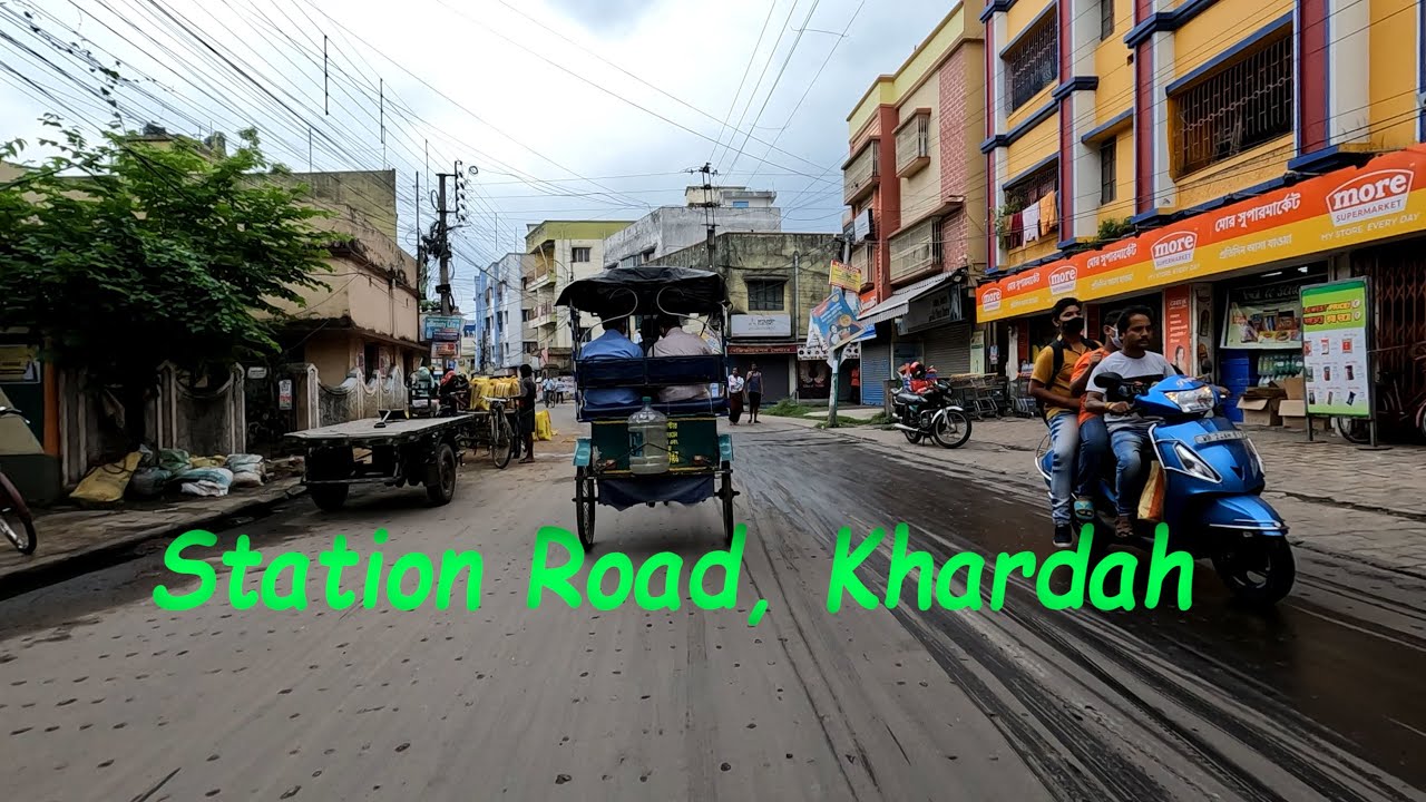
Station Road, Khardah. স্টেশন রোড, খরদহ।
Автор: Spectrum Photography
Загружено: 2022-06-18
Просмотров: 9574
Описание:
Khardaha is a city and a municipality[2] of North 24 Parganas district in the Indian state of West Bengal. It is near Kolkata and also a part of the area covered by Kolkata Metropolitan Development Authority (KMDA
Khardaha is located at 22.72°N 88.38°E.[4] It has an average elevation of 15 m (49 ft). It has a railway station on the Sealdah-Ranaghat section, sandwiched between Sodepur and Sukchar (to the south) and Titagarh (to the north). The railway station divides the town into two parts - the eastern part is known as Rahara, while the western part is known as Khardaha.
Khardaha is bounded by Titagarh to the north, Patulia and Bandipur to the east, Panihati to the south and the Hooghly River to the west.
96% of the population of Barrackpore subdivision (partly presented in the map alongside, all places marked in the map are linked in the full screen map) lives in urban areas. In 2011, it had a density of population of 10,967 per km2. The subdivision has 16 municipalities and 24 census towns.
#khardah #khardahkitemarket2022 #khardahshyamsundarmandir #khardahstation #khardahnews #khardahkiteshop #khardahflat #khardahshootout #khardahnewstoday #khardahthekebolchi #khardahkitemarket2021 #khardahrestaurant #khardahshibnathhighschool #khardahkitemarket #khardahkolkata #khardahand #khardahrapsong #khardahfoodfestival #khardahmunicipalityelectionresult2022 #khardahramakrishnamission #khardahmuharram #khardahsaibabamandir
Повторяем попытку...
Доступные форматы для скачивания:
Скачать видео
-
Информация по загрузке:


