Winslow, Stark Mesa, Calf Pen Canyon, Fossil Creek Wilderness, Larry Creek, Black Canyon City
Автор: Andreas Lauschke
Загружено: 2025-03-13
Просмотров: 23
Описание:
This was the return flight from Winslow over various wilderness areas and canyons and creeks to Black Canyon City, then direct to Glendale. The first flight was almost the same, you find it at • Black Canyon City, Larry Creek, Fossil Cre...
Flight Map:
https://s3-tracks-notebooks.s3.us-wes...
Timestamps:
6:59 road 87, Jack's Canyon, on the right is Stark Mesa
20:12 Lost Eden
24:59 Clover Creek, left, Clover Canyon, bottom, flow into West Clear Creek, right
26:58 260, Zane Grey Highway
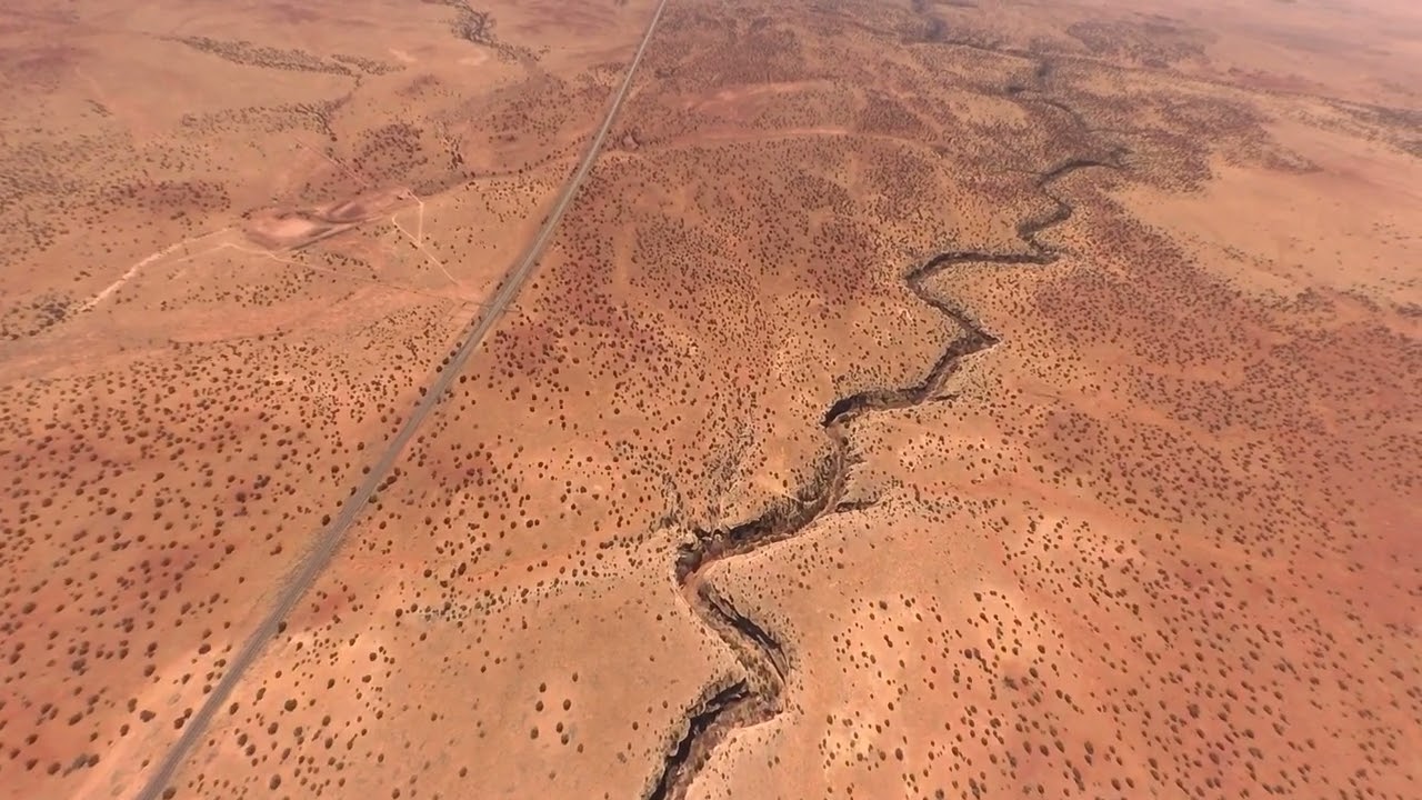
28:35 The Pocket, left, with Pocket Point Tanks. At the very left Calf Pen Canyon joins. At the "bottom" are Fossil Spring Wilderness and Tin Can Draw. At the left then follow Fossil Creek Dam (aka The Toilet Bowl), Springs at Fossil Creek, Fossil Creek Waterfall, Fossil Creek Rd, Tonto Beach, Fossil Creek Bridge, Homestead Recreation Site
31:34 Fossil Creek Wild and Scenic River Recreation Area, Boulder Canyon, Child's Power Rd., Sally Mae Recreation Site, Sally Mae Wash
33:49 Verde River
35:46 Pine Mountain Wilderness (right half)
43:52 Tetzloff Ranch
49:18 Fig Springs, center/right
50:27 Lake Pleasant
52:05 Anthem Golf and Country Club
53:12 hi 17 and N Daisy Mountain Dr.
50:27 Lake Pleasant
55:09 TSMC chip factory
55:35 bug smashes. How ironic that I get smashed by a bug directly over the chip factory
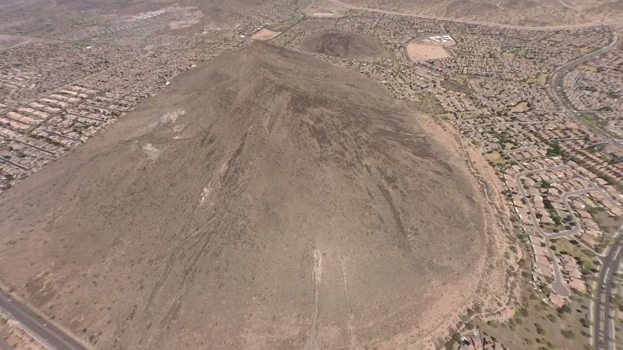
58:37 Thunderbird Mountain Preserve
58:42 Lake Arrowhead
59:32 101
1:00:33 Arrowhead Mall
1:07:53 Agua Fria
Повторяем попытку...
Доступные форматы для скачивания:
Скачать видео
-
Информация по загрузке: