🌪️ LIVE: Severe Weather Coverage — Tornado, Large Hail & Damaging Wind Threat
Автор: First Alert 6
Загружено: 2026-06-11
Просмотров: 19892
Описание:
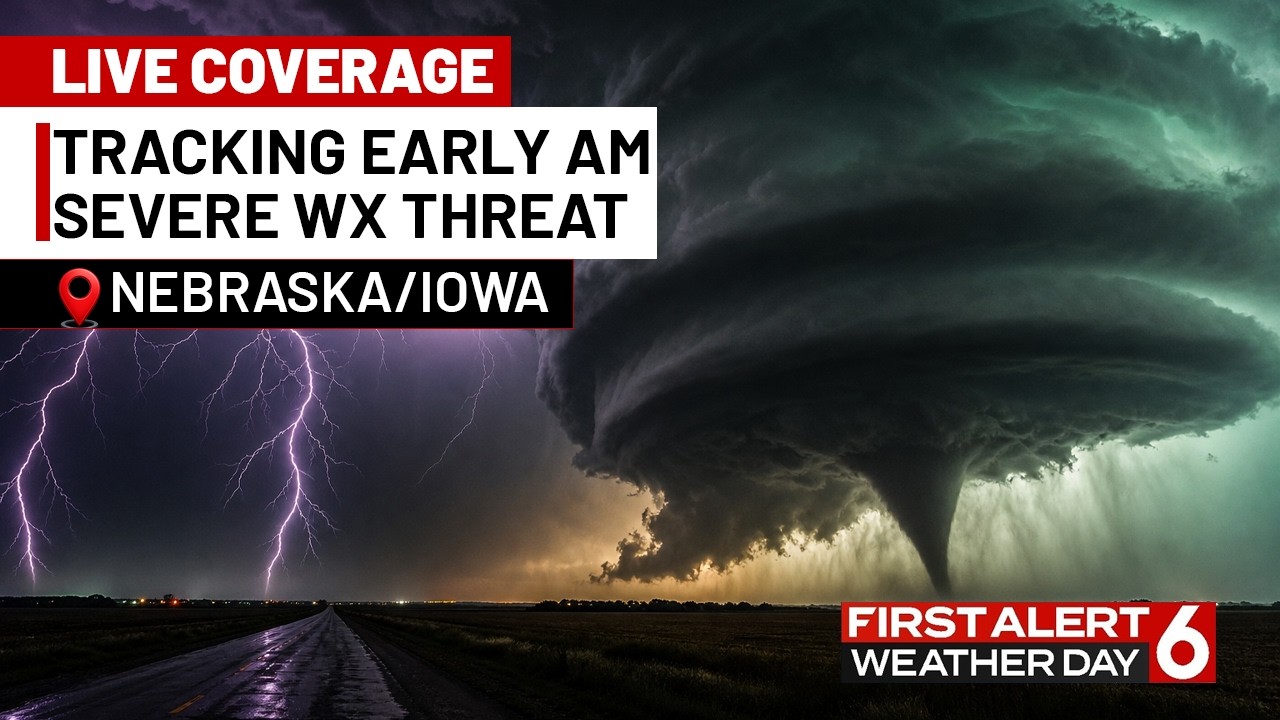
🔴 LIVE COVERAGE | First Alert 6 is tracking a dangerous line of severe thunderstorms moving through the area early Thursday morning.
⚠️ ALL HAZARDS ARE ON THE TABLE:
🌪️ Tornadoes possible
🌨️ Very large hail
💨 Damaging wind gusts
🌊 Flash flooding / heavy rainfall
📍 Greatest threat: Areas along and south of a line from Platte to Monona counties in Iowa and southeast Nebraska — including communities near Interstate 80.
🕐 TIMING: Storms are expected to intensify after midnight, with the highest severe weather threat arriving between 3–9 AM Thursday. Storms should push east and exit the area by midday Thursday.
🌩️ Meteorologists are tracking a surface low tracking northeast out of Colorado, bringing with it CAPE values of 2,000–3,000 J/kg and bulk wind shear of 50–70 knots — a setup capable of producing supercells and organized severe convection overnight.
💧 Flash flooding is also a concern, with precipitable water values well above the 90th percentile and training storm potential.
Stay with First Alert 6 for continuous live coverage throughout the morning.
#SevereWeather #Tornado #LargeHail #DamagingWind #FlashFlood #FirstAlert6 #Nebraska #Iowa #LiveCoverage #StormWarning
Повторяем попытку...
Доступные форматы для скачивания:
Скачать видео
-
Информация по загрузке: