How to Geocode Sentinel 1 SAR Data in ArcMap 10.8.1
Автор: Geospatial Solution
Загружено: 2022-01-31
Просмотров: 4804
Описание:
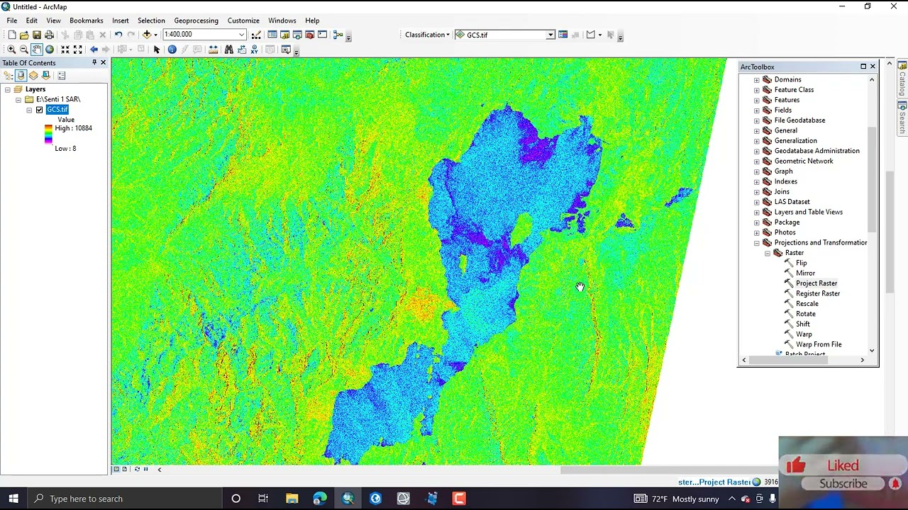
Once extracted from their zip file, GRD products downloaded from Vertex can be viewed directly in ArcGIS without any additional steps. The georeferenced TIFF files include the information necessary to allow most GIS software platforms to project the data layers on the fly to match the other layers in your GIS, so you can easily visualize the data without additional effort. If you are visualizing the images outside of a GIS platform, however, the images may appear reversed or rotated. To display the images as you would expect to see them, the image must be transformed from its SAR geometry into a map projection. When working with SAR data, this process is called “Geocoding”.
Reference: https://asf.alaska.edu/how-to/data-re...
Повторяем попытку...
Доступные форматы для скачивания:
Скачать видео
-
Информация по загрузке:


