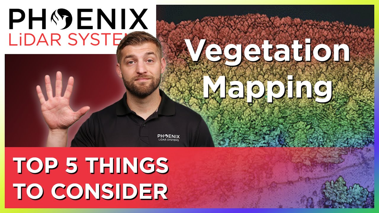
LiDAR Mapping Through Vegetation - 5 Tips You Should Know!
Автор: Phoenix LiDAR Systems
Загружено: 2023-01-09
Просмотров: 8074
Описание:
Mapping accurately through vegetation is challenging. And while photogrammetry can be used for bare earth mapping, it is not nearly as effective as LiDAR for mapping through thick vegetation. In this video, Kory Kellum of Phoenix LiDAR Systems explains the best way to map surfaces with vegetation and provides five points for you to consider when you are looking at solutions to map through vegetation.
00:00 - Introduction
00:15 - Photogrammetry vs LiDAR mapping
00:50 - The challenge of mapping through vegetation
01:12 - Pulse repetition rate
01:47 - Vertical field of view
02:22 - Returns
02:48 - Laser wavelength
03:45 - Beam divergence
04:17 - Recap of five considerations for mapping through vegetation
04:50 - How to learn more about LiDAR mapping through vegetation
There are a variety of ways to get in touch with our experts at Phoenix LiDAR Systems. Follow this link to choose the option that you prefer to contact us!
https://www.phoenixlidar.com/contact-...
Follow Us On Social Media:
➡ LinkedIn: / phoenixlidar
➡ Instagram: https://www.instagram.com/?hl=en
➡ Facebook: / phoenixlidarsystems
➡Twitter: https://twitter.com/phoenixlidar?lang=en
Learn More:
➡ Visit Our Website: https://www.phoenixlidar.com/
➡ Request More Information: https://www.phoenixlidar.com/request-...
➡ Contact Us: [email protected]
Be sure to like, share, and subscribe! Leave us a comment below to let us know what you want to learn next.
#mapping #lidar #vegetation
Повторяем попытку...
Доступные форматы для скачивания:
Скачать видео
-
Информация по загрузке: