BIM & GIS Integration for Smarter Urban Infrastructure | Concepts & Practical Workflows
Автор: Avakaza Geoscience Research Technologies
Загружено: 2025-07-22
Просмотров: 336
Описание:
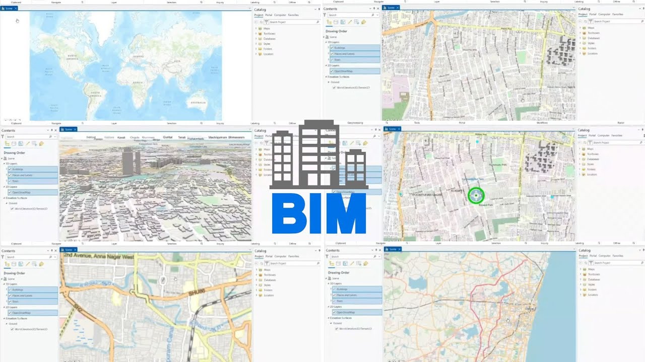
🏙️ Discover how to integrate BIM & GIS for smarter, future-ready urban infrastructure! 🌐
In this practical session led by Hansa K, Senior Trainer at AGSRT, learn how Building Information Modeling (BIM) and Geographic Information Systems (GIS) can work together to transform urban planning and infrastructure projects.
✅ What you'll learn:
-Core concepts of BIM & GIS integration
-Practical workflows for combining design models with real-world spatial data
-Tools and techniques using Revit, ArcGIS Pro, and QGIS
-Real-world examples of smarter urban design and city-scale analysis
Whether you're an urban planner, GIS professional, civil engineer, architect, or a student, this session will give you hands-on insights to improve decision-making and project outcomes.
🌟 Explore More GIS Opportunities with AGSRT! 🌟
📌 Discover our range of GIS training programs and services: https://www.agsrt.com
📷 Follow Us on Instagram: / agsrt.gis
🔗 Connect with Us on our LinkedIn Community: https://www.linkedin.com/company/agsr...
🎥 Subscribe to Our YouTube Channel to explore GIS classes, webinars and all: / @agsrtgis
#bim, #gis, #bimgisintegration, #urbaninfrastructure, #smartcities, #gistraining, #bimworkflows, #geospatialtechnology, #cityplanning, #urbandevelopment, #infrastructuredesign, #digitaltwin, #futurecities, #agsrt, #smartcityplanning
Повторяем попытку...
Доступные форматы для скачивания:
Скачать видео
-
Информация по загрузке: