Скачать
QGIS Coordinate Reference Systems (CRS) and Projections
Автор: Geospatial School
Загружено: 2019-06-26
Просмотров: 44018
Описание:
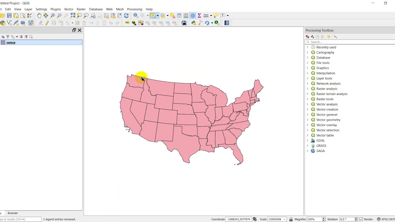
A QGIS tutorial that shows how to change the CRS/projection used to display layers in QGIS and how to transform layers to a new CRS/projection. The CRS/projection used to display GIS layers is extremely important because we often want to minimize distortions. This tutorial will show you multiple ways to change the way layers are display and how to change the CRS of layers.
Visit opensourceoptions.com for more content and courses
Не удается загрузить Youtube-плеер. Проверьте блокировку Youtube в вашей сети.
Повторяем попытку...
Повторяем попытку...
Доступные форматы для скачивания:
Скачать видео
-
Информация по загрузке:


![Divine Music - The Year Mix Vol.10 [Chill & Ethnic Deep 2025]](https://imager.clipsaver.ru/Q3XBH_FhuKY/max.jpg)
