Mav3DMap V2 - Complete Revamp
Автор: Mohammad Hefny
Загружено: 2025-11-13
Просмотров: 77
Описание:
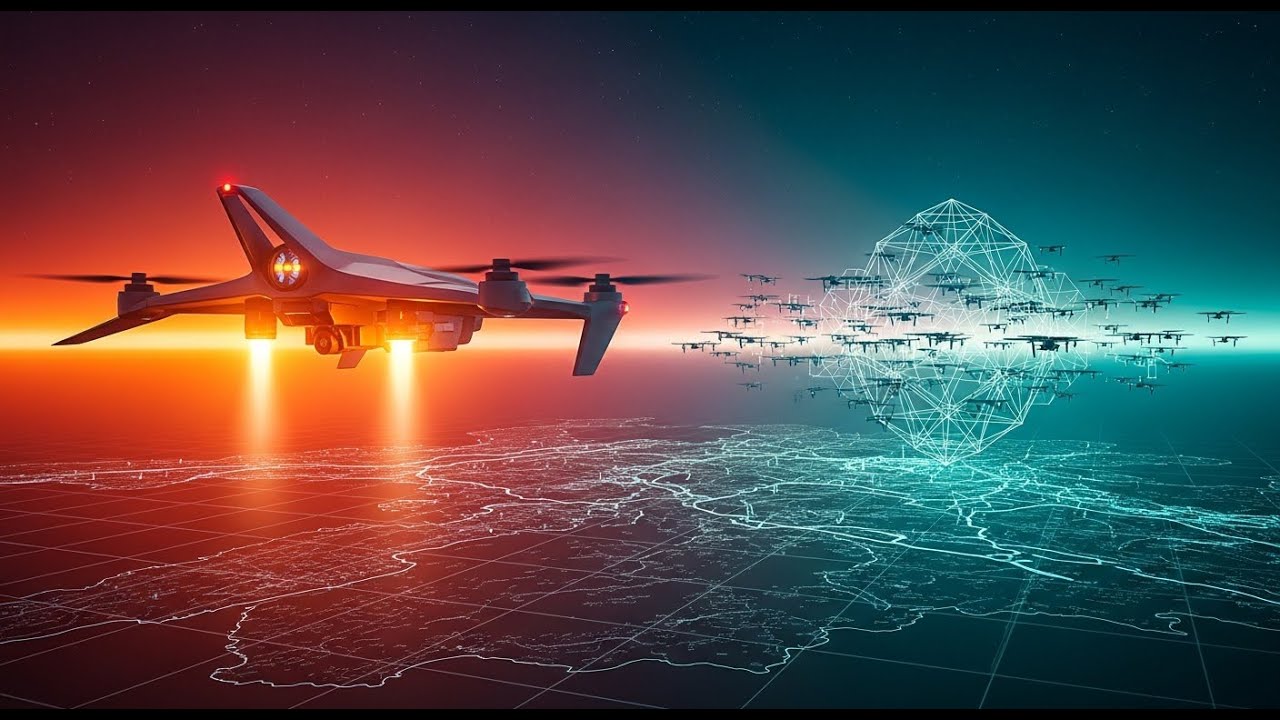
This video demonstrates Mavlink 3D-Map, an open-source simulator that brings your MAVLINK data to life in a stunning, interactive 3D environment using three.js.
Whether you are a drone developer, a flight controller enthusiast, or just curious about UAV telemetrics, this is the ultimate way to monitor your vehicles.
What is Mavlink 3D-Map?
Mavlink 3D-Map connects to a flight controller or, as shown in this video, a Software-in-the-Loop (SITL) simulator (like ArduPilot's ArduCopter/ArduPlane). It visualizes the vehicle's real-time location, orientation, and navigation data in a web-based 3D map.
Key Features Demonstrated:
Real-Time 3D Visualization: See your aircraft (drones, planes, VTOLs) rendered accurately in a 3D environment with a real GEO map overlay.
Multi-Vehicle Support: Monitor and track multiple vehicles simultaneously, each with its own ID and telemetry stream.
Multiple Viewports: Use several cameras at once to get a comprehensive view, including a world camera and dedicated vehicle-attached cameras.
First-Person View (FPV): Experience the flight directly! Switch to FPV cameras mounted on the vehicles to see what the drone sees.
SITL Integration: Easily connect to popular SITL environments over UDP via the integrated Node.js websocket bridge.
Interactive Control: Take control of the SITL environment's observer camera to fly around the scene (W, S, A, D keys).
npm: https://www.npmjs.com/package/mavlink...
Github: https://github.com/HefnySco/Mavlink3DMap
Music: @ChineseMusicShow
Повторяем попытку...
Доступные форматы для скачивания:
Скачать видео
-
Информация по загрузке:


![[RUS] Tiefenwolf пре-альфа демонстрация](https://image.4k-video.ru/id-video/om7_xMSOMuE)


![Почему работает теория шести рукопожатий? [Veritasium]](https://image.4k-video.ru/id-video/ggI1xKzoANs)

