Model Thickness Variation with Isopach Maps in Surfer
Автор: Golden Software
Загружено: 2021-12-15
Просмотров: 7374
Описание:
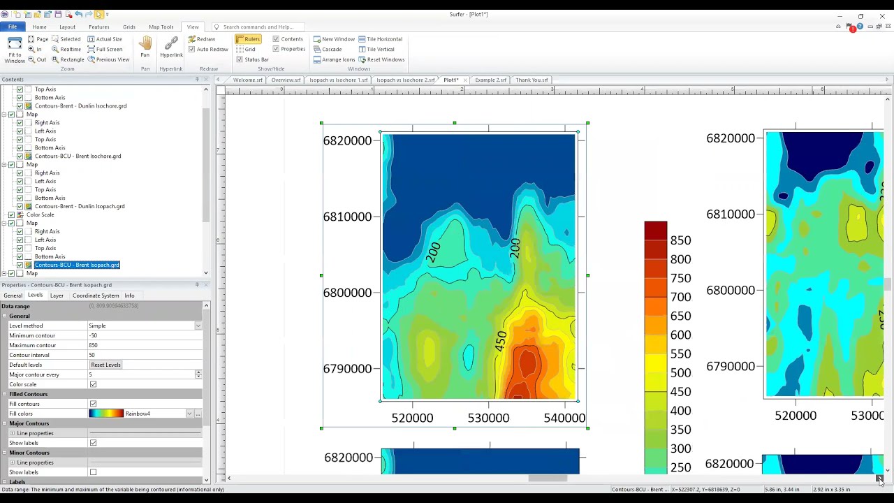
Isopach maps are often used in geology to illustrate thickness variations between two layers, such as the top and bottom of a coal seam or stratigraphic layer. If you have surfaces defining the elevation of the top and bottom of a geologic unit, you can use Surfer to create Isopach or isochore maps.
This webinar shows you how to use Surfer’s powerful new tools to delineate the true vertical thickness and true stratigraphic thickness of a structural unit to generate both types of maps.
Specifically, the presentation covers the following topics:
The difference between Isopach and Isochore maps
Using Surfer’s new Isopach tool to create both Isopach and Isochore maps
Visualize the Isopach maps using contour layers and 3D surfaces
Use Surfer’s Grid Volume tool to calculate area and volume between surfaces (with varying grid geometry!)
Extract volume calculations between layers within a specific polygon boundary
Download the data from our Support Portal: https://goldensoftwaresupport.zendesk...
Download the free trial at https://www.goldensoftware.com/produc...
Повторяем попытку...
Доступные форматы для скачивания:
Скачать видео
-
Информация по загрузке:


