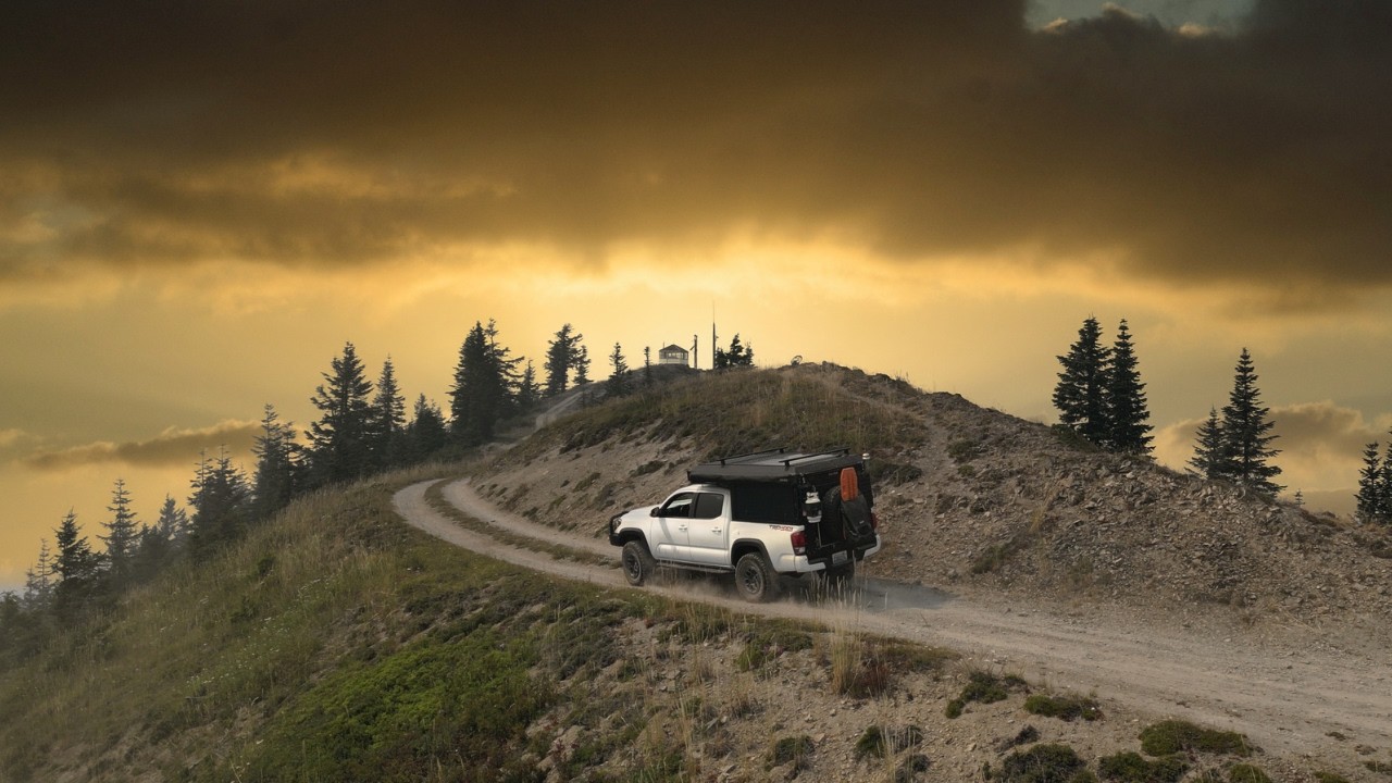
NF-6830 - Tonga Ridge - Wild Sky Wilderness - Washington State
Автор: Find PNW Trails
Загружено: 2018-06-20
Просмотров: 1723
Описание:
This trail is a forest service road that begins at Highway 2 and then a right turn onto Foss River Rd NE. It then turns into NF-68 and then you turn again up NF-6830 to get to the ridge we parked on in the drone footage.
From Highway 2 it takes around 25 minutes to climb from an elevation of 1,200 ft up to 3,800 ft at the ridge, going an average of 15-20 MPH and you'll travel around 10 miles. Great views of the river, mountains and forest all the way up.
https://www.fs.usda.gov/recarea/mbs/r...
Google Maps link to the path I took:
https://www.google.com/maps/dir/47.71...
I couldn't get the exposure / ISO on the drone camera to co-operate, apologies if some footage is a little dark. Also, YouTube made the GoPro footage a little weird, maybe because I shot it in 60FPS? Will have to figure that one out for the next one.
Drone footage shot on a DJI Mavic Pro with PolarPro Vivid ND4-PL lens filter.
GoPro footage shot on Hero6 with car mount suction cup. Also, shot with GoPro Karma grip of the 4runner clip at the end.
Photos shot with Canon Rebel T3i and EF-S 18mm-135mm lens.
Video production done in Adobe Premiere Pro
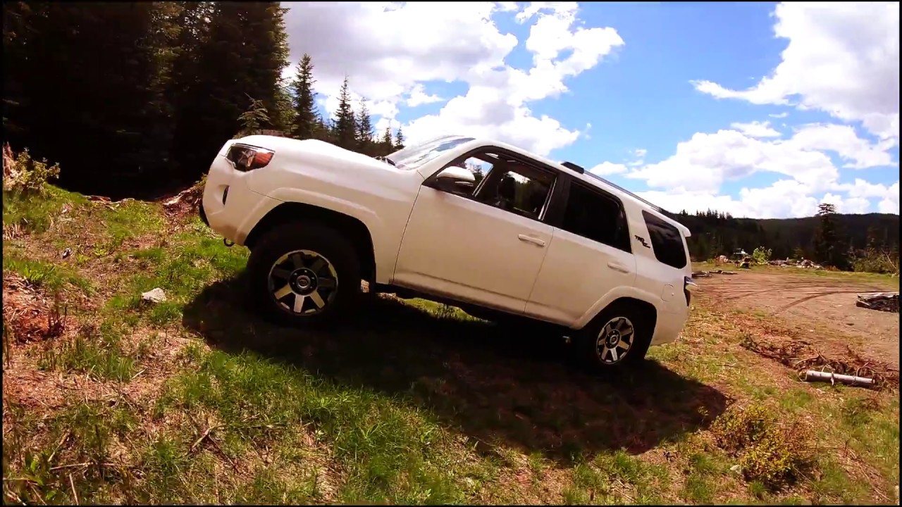
Truck is a 2018 Toyota 4Runner Off Road Premium (stock)
This video was shot on Fathers day, June 17th 2018.
Thanks for watching, I plan on creating more of these types of videos as I explore new trails in my new truck. Subscribe if you like the content. Cheers.
Josh
Повторяем попытку...
Доступные форматы для скачивания:
Скачать видео
-
Информация по загрузке: