From Meadows to Summit: Hiking the Mt Dana Trail 13,045'
Автор: John Minar Photography
Загружено: 2025-06-15
Просмотров: 351
Описание:
Looking for a high-elevation challenge in the Eastern Sierra? 🏔️ Try the Mt. Dana Trail—an intense 5.3-mile out-and-back hike that climbs to Yosemite’s second-highest peak at 13,045 feet!
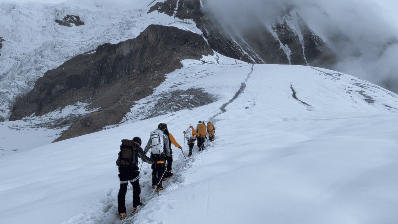
This rugged route begins just outside the east entrance to Yosemite National Park, near Lee Vining. It starts gently through alpine meadows, then steepens quickly with switchbacks that lead to a breathtaking plateau. From there, it’s a tough, rocky scramble to the summit. No official trail markers, just your legs, your instincts, and some scattered cairns to guide the way.
⚠️ Not for beginners! The elevation gain is serious, the terrain unforgiving, and dogs aren’t allowed. But for experienced hikers, the views from the top are absolutely worth it. Aim for a clear day between June and October, and definitely bring offline maps!
My hiking partner today was Eileen Takeshita | Outdoor Fitness and Nutrition Coach. Thanks so much for the invitation and a great hike! Follow Eileen on Instagram https://www.instagram.com/eileentt?hl=en @eileentakeshita9848
Have you. tackled Mt Dana?? Leave a story in the comments below
✅ 🛎 Please Subscribe to help our channel's grow✌️@HBSTONELIGHT @JohnMinarPhotography @surfingwedge @KittyKittyCouture
🤩 NEXT WATCH • My Rock Climbing Adventures
🚩 Yosemite Fine Art Image Gallery https://johnminarphotography.darkroom...
🚩 JMP Wall Murals & Tapestries - Home DECOR https://society6.com/a/artists/johnminar
✅ If you enjoyed the video, why not buy us a coffee: https://www.paypal.me/JohnMinarPhotog... ☕✌️.
.
.
#MtDana #YosemiteHiking #EasternSierraAdventures #SierraNevadaPeaks #CaliforniaHikes #HighElevationHike #NoDogsAllowed #LeaveNoTrace #HikeSmart #SummitViews #AdventureReady #TiogaPassTrail #ScrambleToTheTop #PeakBagging #BackcountryHiking
Повторяем попытку...

Доступные форматы для скачивания:
Скачать видео
-
Информация по загрузке: