Riding beside the River Rea - from Source to City
Автор: Julyan Bristow
Загружено: 2026-03-12
Просмотров: 57
Описание:
Welcome to this video of cycling most of the length of the River Rea from its source at Waseley Hills Country Park into Birmingham city centre at Digbeth.
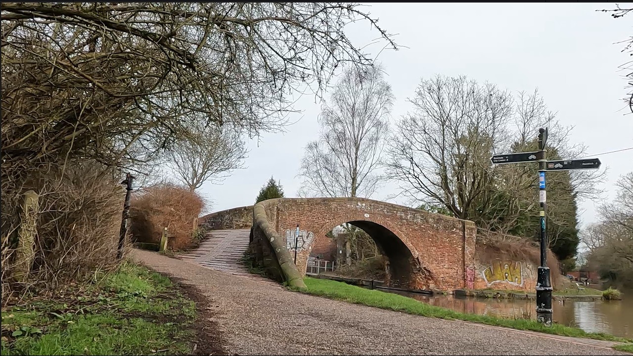
Overall the River Rae is about 14 miles in length running and drops around 300ft before joining the river Tame at Gravelly Hill (more well known as Spaghetti Junction). It runs through many of the suburbs of SW Birmingham and several parks are situated along the banks such as Kings Norton Nature Reserve and Park, Canon Hill Park and Calthorpe Park.
The source is in Waseley Hills Country Park and then after a fairly sharp drop it meanders through the southwestern suburbs. These include Frankley, Longbridge, Northfield, Lifford, Stirchley, Selly Park, Moseley, and then Highgate and Digbeth in the city itself. Here the river is pretty well culverted all the way and its rarely visible until it re-emerges in Bordesley (near Garrison Street of Peaky Blinders fame). Then near Saltley is runs alongside the Grand Union Canal up to Gravelly Hill where it ends and joins the River Tame
There are several tributaries to the River Rae the River Bourne joins in Stirchley and Bourne Brook which joins in the wildlife reserve in Cannon hill park
For most of the route until Calthorpe Park the river is above ground but the route does not always follow the river closely and there are stretches where its out of site – for example Northfield and Kings Norton
The name Rea apparently derives from many European languages and means “to run” or “to flow”. It was very important to Birmingham over the centuries with much industry and commerce relying on it.
Medieval Birmingham was built on a crossing on the Rea in what is now Digbeth and many of the street names in the area refer to the river or its mills, such as Rea Street, Floodgate Street, River Street and Duddeston Mill Road
Given its catchment area is now heavily populated with housing it is quite common that the River Rae breaks its banks and a number of schemes along the route have been put in place to protect these areas. When there has been rain its clear in places that the river rises almost 2m in level.
This video is very much a bicycle eye view of the route and is sped up 4x
The route shown is actually part of the National Cycle Network route 5 from Reading to North Wales (a total of about 370 miles)
(https://www.walkwheelcycletrust.org.u...)
Thanks for Watching
Повторяем попытку...
Доступные форматы для скачивания:
Скачать видео
-
Информация по загрузке: