AI-DGGS Workshop: Flood Risk Panel
Автор: opengeospatial
Загружено: 2026-01-26
Просмотров: 50
Описание:
About the Workshop
The Artificial Intelligence-Discrete Global Grid System (AI-DGGS) for Disaster Management Pilot is a landmark collaborative initiative under the Open Geospatial Consortium (OGC), with support from international agencies including Natural Resources Canada (NRCan), the European Space Agency (ESA), and the United States Geological Survey (USGS).
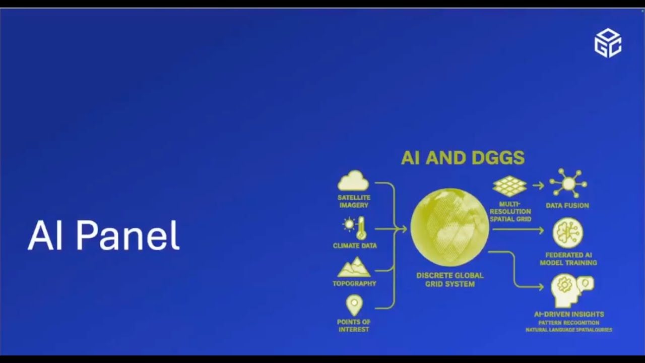
This pilot leverages the recently published DGGS API standard, providing a natively digital alternative to traditional coordinate systems. By indexing locations with globally consistent cell identifiers, DGGS facilitates large-scale data integration and machine-readable geospatial representations. Its design is particularly well-suited for AI-augmented geospatial intelligence, helping improve disaster management, risk assessment, and response strategies.
Workshop Overview
This two-day virtual workshop will showcase the results of the AI-DGGS pilot and explore the path forward for integrating AI with DGGS in disaster management.
Day 1 – Wednesday, January 21
Focus on Presentation of Pilot Results:
Examine findings and outcomes from the AI-DGGS for Disaster Management pilot
Publicly accessible presentations with limited opportunities for debate
Ideal for stakeholders interested in seeing the results of this innovative pilot
Day 2 – Thursday, January 22
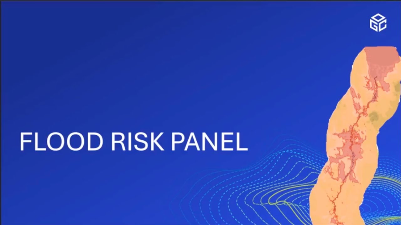
Dialogue & Strategic Planning with Three Panels Covering:
Flood Risk Planning
Discrete Global Grid Systems (DGGS)
Artificial Intelligence & Its Relationship to DGGS
Повторяем попытку...
Доступные форматы для скачивания:
Скачать видео
-
Информация по загрузке: