Chorleywood | Hertfordshire | UK | Europe | 15/05/2021 | Walk
Автор: Walk Through Time
Загружено: 2021-05-20
Просмотров: 1303
Описание:
Date: Saturday 15/05/2021
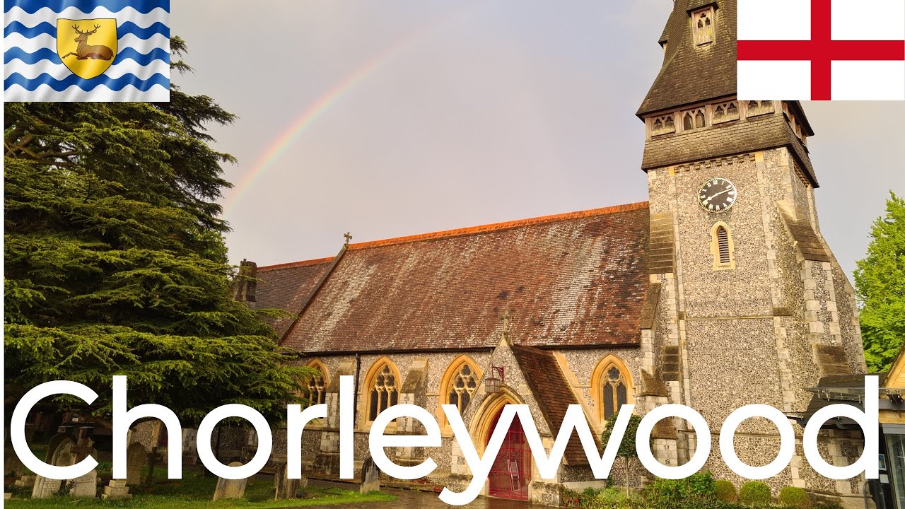
Location: Chorleywood
Population: 11,290
Coordinates: 51.65° N
00.52° W
Temperature: 9°C
Information bars at the bottom of the screen:
-Temperature (Degrees Celsius)
Elevation/Height above sea level (Metres)
Road/Street
Latitude, Longitude. In the search box of a map app, enter these coordinates. This will take you to the exact location.
App used: My Elevation
Timestamps:
00:00 - Christ Church
04:14 - Chorleywood Common
15:52 - Common Road
17:53 - Station Approach
21:57 - Shire Lane
22:30 - Shopping Parade/Whitelands Avenue
24:34 - Lower Road
29:01 - North Road
31:47 - Road to Station Car Park
32:33 - Chorleywood Bottom
Useful Websites:
Chorleywood Parish Council - https://www.chorleywood-pc.gov.uk/
Three Rivers District Council - https://www.threerivers.gov.uk/
Hertfordshire County Council - https://www.hertfordshire.gov.uk/home...
Christ Church - https://cccw.org.uk/
St Andrew's Church - https://www.st-andrews.org.uk/
Повторяем попытку...
Доступные форматы для скачивания:
Скачать видео
-
Информация по загрузке:


