This Map Shows What Detectorists Keep Missing – Detector Maps
Автор: West Country Clegg Network
Загружено: 2026-01-18
Просмотров: 1303
Описание:
Most detectorists walk straight past this.
Not because the ground is empty.
But because it doesn’t look like anything.
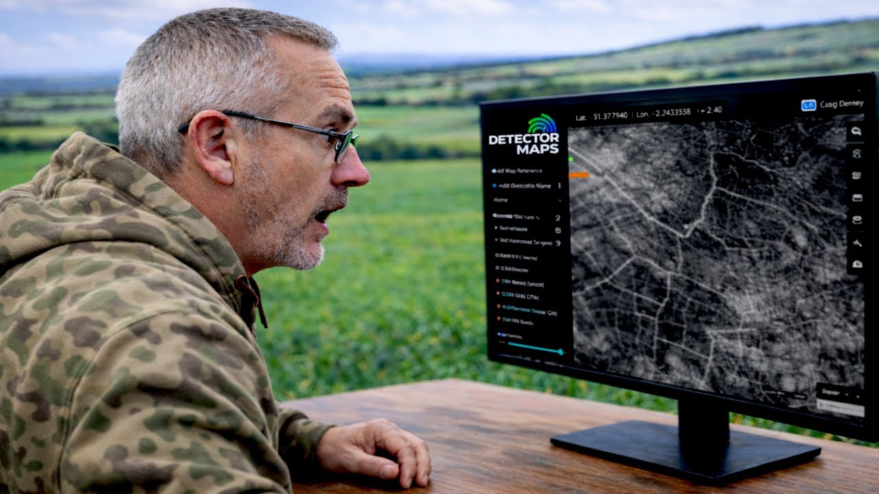
In this video, I take a deep look at Detector Maps, a new mapping system coming to the UK, and show how it reveals patterns in the landscape that are usually invisible to the eye.
This isn’t about chasing signals or using better machines.
It’s about understanding what the land has been telling us all along.
Using tools like:
historic maps
LiDAR
slope visualisation
NDVI imagery
Old field boundaries and property lines
You can start to see why finds cluster where they do, and why some fields quietly produce again and again while others never seem to deliver.
I’ve been given early beta access to Detector Maps ahead of its public release on the 23rd, and in this video I walk through exactly what it can do, how I use it, and why it’s already changing how I read a field before I ever turn a detector on.
This isn’t a tutorial.
It’s a way of seeing.
Once you notice these patterns, you can’t unsee them.
👉 Detector Maps (UK):
https://detectormaps.com/uk/
Let me know in the comments what you think, and whether this kind of mapping changes how you look at the land you detect.
Повторяем попытку...
Доступные форматы для скачивания:
Скачать видео
-
Информация по загрузке:


