How to Add Real Estate Property Boundary Lines to Drone Photos | Photoshop Tutorial
Автор: Bendigo Aerial
Загружено: 2022-05-04
Просмотров: 39847
Описание:
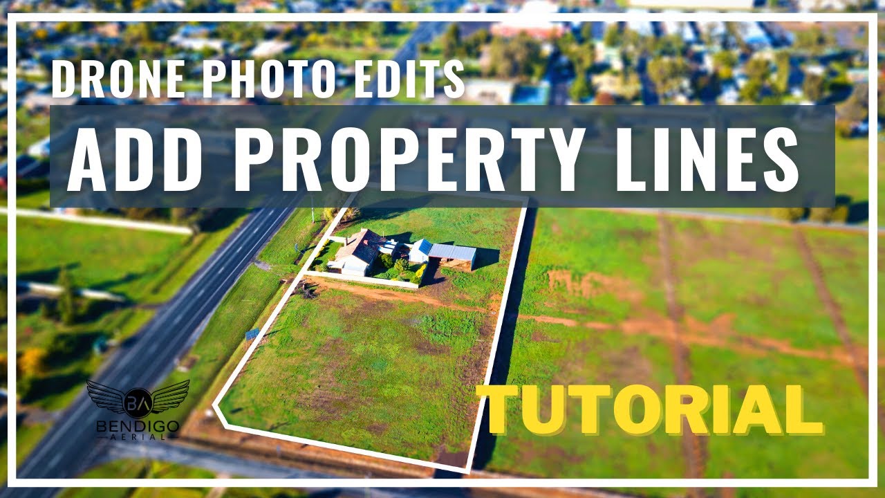
In this tutorial, I show you how I add property boundary lines for real estate drone photos. We use adobe photoshop as our preferred software and we use the polygon and pen tool to create an outline for the property lines and property boundaries.
➥➥➥ SUBSCRIBE FOR MORE VIDEOS
Never miss a new video about aerial photography and drone services.
Subscribe ⇢ https://bendigoaerial.au/sub
➥➥➥ Follow Us on Social Media
Filmed By Bendigo Aerial ➝ https://bendigoaerial.com.au/
Connect on Facebook ➝ / bendigoaerial
Connect On Instagram ➝ / cmdroid
Connect On Twitter ➝ / bendigoaerial
#propertylines #dronephotoediting #realestate
Please watch the latest video upload:
https://bendigoaerial.au/latestvideo
Повторяем попытку...
Доступные форматы для скачивания:
Скачать видео
-
Информация по загрузке: