Improving SWMM Modelling with GIS Tools
Автор: Australian Water School
Загружено: 2024-08-21
Просмотров: 3636
Описание:
Register for upcoming free webinars and online training: https://awschool.com.au
Slides & Q&A: https://awschool.com.au/webinars/past...
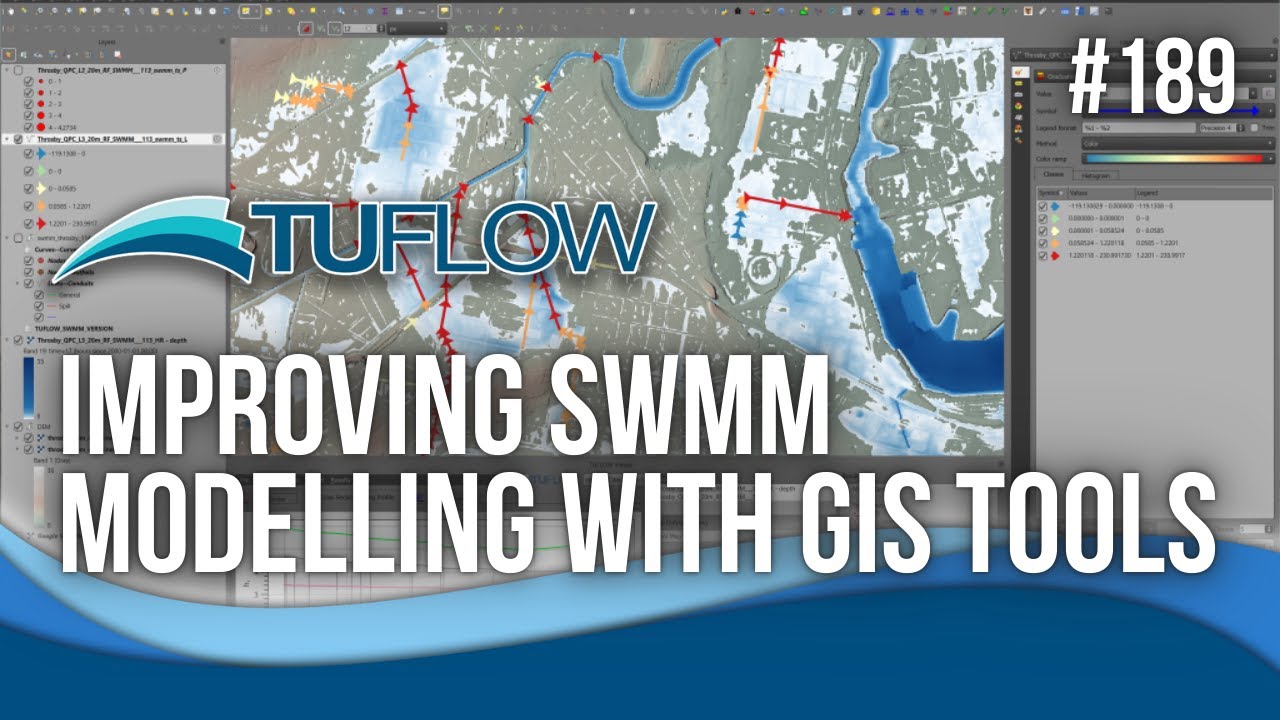
Resources: https://wiki.tuflow.com/TUFLOW_SWMM_T...
TUFLOW 2023 Release notes https://docs/tuflow.com/classic-hpc/release/latest
**Chapters**
00:00 - Presenter introductions
03:00 - SWMM background & history
09:38 - SWMM historical timeline
16:36 - SWMM GIS tools | Symbology
20:21 - TUFLOW QGIS plugin | Categories
30:48 - 1D integrity tools
34:52 - SWMM with TUFLOW | 1D
38:18 - Value added features | Benchmarking
44:46 - Result view | QGIS | ArcGIS
48:45 - Q&A | TUFLOW webinars
*Description* Webinar number 189
Unlock the full potential of your stormwater management strategies with EPA SWMM, the powerful, open-source hydrology and 1D modelling software trusted by professionals worldwide.
Elevate your projects by learning from the experts in this engaging webinar on a journey through the rich history of EPA SWMM. You’ll discover how this system can transform your projects with its flexible API and learn how to efficiently create and edit SWMM data using the TUFLOW plugin in QGIS.
Get ready to streamline your workflow with essential features like GIS GeoPackage file creation, network integrity checks, and seamless data conversion between SWMM and GIS formats. Whether you’re new to SWMM or looking to enhance your expertise, this webinar will provide valuable insights.
*******************************
The United States Environmental Protection Agency (EPA) Storm Water Management Model (SWMM) is a popular, open source, hydrology and 1D modelling system. First developed in the late 60s and early 1970s by the University of Florida, Metcalf & Eddy, and CDM, the application has had many major upgrades over the decades to its current version. SWMM is used worldwide and has been embedded in many different modelling platforms using its flexible API.
EPA SWMM develops a graphical user interface (GUI), though people tend to develop these model inputs within a separate GIS system before manually transferring the information to the SWMM GUI. The TUFLOW plugin in QGIS, is a freely available plug-in that enables efficient creation and editing of SWMM data in a GIS GeoPackage format. The plugin includes functions to:
1. Create an empty GIS GeoPackage file with designated SWMM tables (Conduits, Junctions, etc).
2. Edit and visualize the SWMM network and input data.
3. Review network integrity. Checks include bulk identification of unreasonable changes in area, adverse slopes, and insufficient cover.
4. One-click data conversion, either from a SWMM project file (inp) to a GIS GeoPackage representation, or the reverse, GIS GeoPackage to a SWMM project file (inp).
The TUFLOW plugin tools can also be used to prepare a model to run using TUFLOW-SWMM, linking the 2D TUFLOW solver to the 1D SWMM solver for a complete integrated catchment model.
#tuflow #SWMM #sponsored #geopackage #qgis #plugins #1dmodelling
Повторяем попытку...
Доступные форматы для скачивания:
Скачать видео
-
Информация по загрузке:


