Trimble Inpho Photogrammetry v11 x
Автор: software 3D
Загружено: 2021-02-16
Просмотров: 1818
Описание:
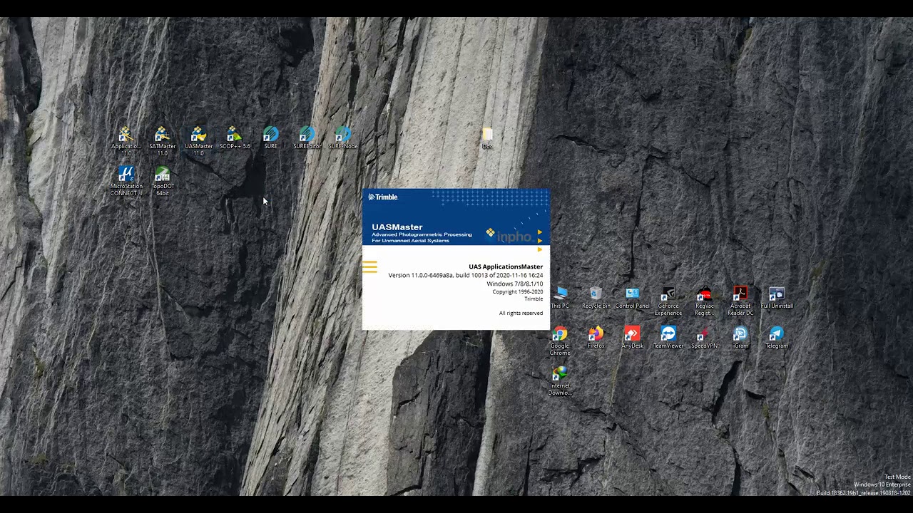
Trimble Inpho
Industry Leading Software for Digital Photogrammetry,
Inpho® office software is designed to precisely transform aerial images into consistent and accurate point clouds and surface models, orthophoto mosaics and digitized 3D features using state-of-the-art photogrammetry and remote sensing techniques.
The modules can be used as a complete system or as individual components which integrate easily into any photogrammetric production workflow using 3rd party products. The portfolio also includes point-cloud and terrain modeling for massive data as well as airborne LiDAR scanning processing completed by automated city-modeling software.
Inpho is compatible with state-of-the-art photogrammetric camera systems from Trimble, Leica, Vexcel, IGI, Phaseone or others.
If you have any questions , please let me know. My email address is [email protected] .
Thanks for watching!
Повторяем попытку...
Доступные форматы для скачивания:
Скачать видео
-
Информация по загрузке: