The REAL Nuclear Fallout Map: Why 99% of Preppers Will DIE !
Автор: The Survival Code
Загружено: 2026-02-09
Просмотров: 536
Описание:
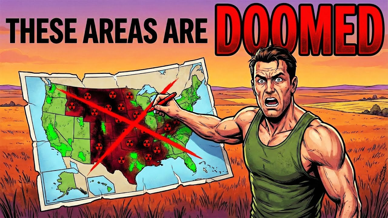
Every map you've ever seen about surviving nuclear war is fundamentally flawed. They show circles around cities, implying distance is your only defense. That is a dangerous lie. Modern nuclear doctrine targets military infrastructure (counterforce), meaning the empty Midwest is the real bullseye. Furthermore, blast radius is survivable; fallout radiation carried by prevailing wind patterns is the true killer. We analyze declassified Cold War studies and actual wind data to show you the ONLY map that matters: where the radioactive plume drifts, where the inescapable dead zones are, and the four critical corridors where survival is possible. Distance doesn't matter; wind direction does.
Reveals the real targets of modern nuclear war (ICBM silos and counterforce sites), not just major cities.
Shows the true nuclear fallout drift patterns based on prevailing wind data (West to East).
Identifies the four critical survivable corridors, offering a strategic evacuation plan.
Explains the 12-hour evacuation window and the critical difference between moving away from cities vs. perpendicular to the wind path.
📌 Where do you think the safest corridor in the US is, and why? Let us know in the comments below!
#NuclearWar #FalloutMap #SurvivalGuide #Prepper #SHTF #SafeZones #NuclearSurvival #WW3
Повторяем попытку...
Доступные форматы для скачивания:
Скачать видео
-
Информация по загрузке: