Outerra 2019
Автор: Brano Kemen
Загружено: 2019-05-19
Просмотров: 31505
Описание:
Previously unpublished ongoing development work on Outerra:
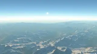
global 10m imagery based on Sentinel satellite data, courtesy of TitanIM
global 10m forest map data, able to detect individual larger trees
global weather data using historical meteo data records, will also work with a real-time weather plugin
global city coverage using OSM data, real building layouts and building types
global import of bridges, overpasses, underpasses and tunnels (WIP)
This version is currently being used in TitanIM (http://titanim.net), but all of the features will find their way also into OT tech demo after optimizing the data size.
Повторяем попытку...

Доступные форматы для скачивания:
Скачать видео
-
Информация по загрузке:


![🇬🇱 Nuuk - Copenhagen 🇩🇰 Air Greenland Airbus A330neo [FULL FLIGHT REPORT] Snowy landing](https://image.4k-video.ru/id-video/DA_EkYemWC4)