Hydrological evaluation of tidal restrictions at Rumney Marsh in Saugus and Revere, Massachusetts
Автор: saltmarshguru
Загружено: 2020-12-16
Просмотров: 235
Описание:
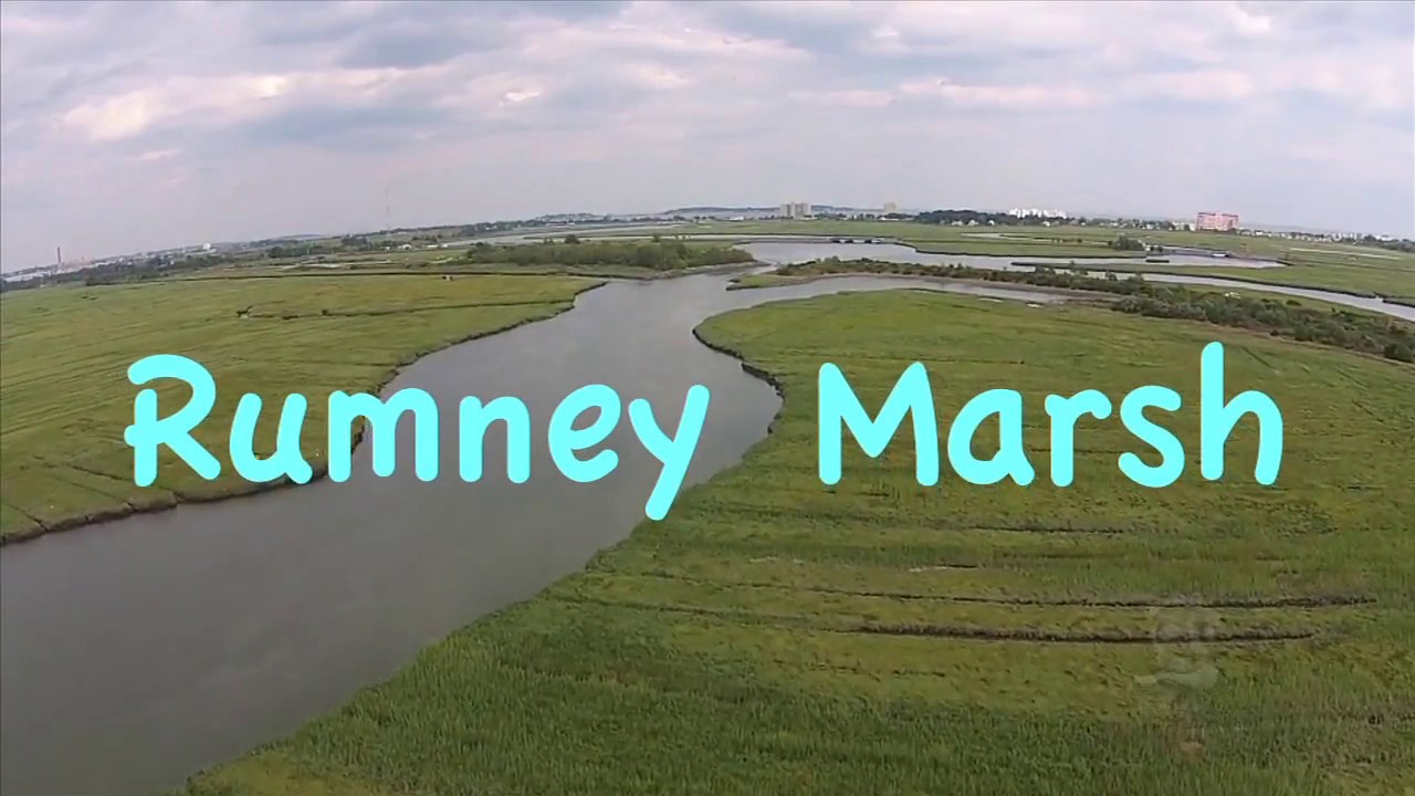
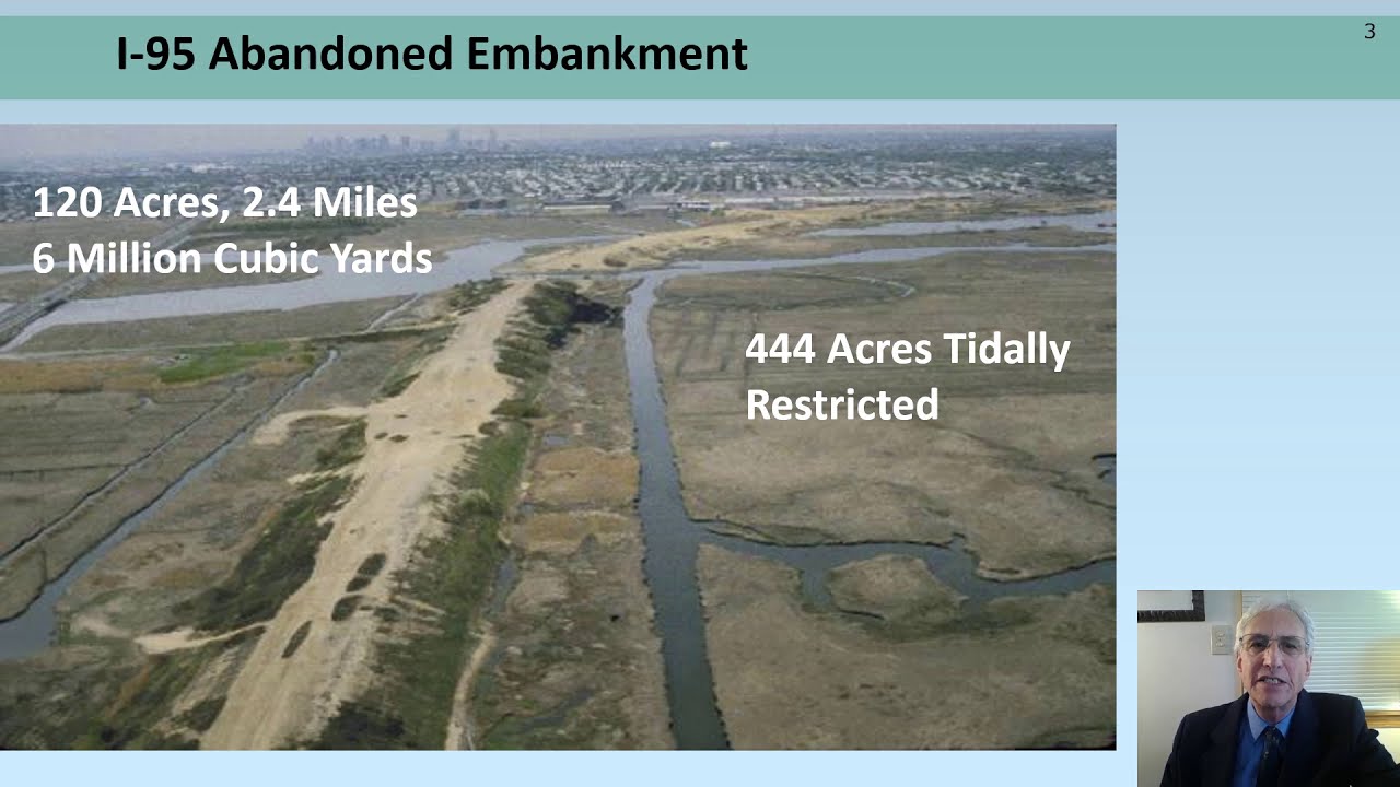
Located in Saugus and Revere, MA, the abandoned I-95 embankment constructed across Rumney Marsh between 1967 and 1969 formed a continuous barrier across the 3.8-kilometer wide marsh with only one opening for tidal flow and flushing to the upper Pines River marsh. All projects to restore salt marsh or intertidal habitat have had to
maintain a continuous flood control berm out of the embankment fill, based on the belief that the embankment provides flood protection.
In order to determine if the I-95 abandoned highway embankment affects flooding in the upper marsh, EPA undertook a comparative water level investigation installing seven pressure transducers at key locations in the marsh. We discovered that maximum daily tidal water levels were nearly identical throughout the Pines River. Three new bridges on Route 107
constructed between 2009 and 2012 increased tidal flow and flushing along the Pines River. Improvements to these bridges have restored a more normal tidal hydrology to the marsh, however, the slightly lower tides on the upstream side of Route 107 compared to the downstream side, still demonstrate a slight tidal restriction by the roadway.
We conclude that Route 107 is primarily responsible for the tidal restriction in the Pines River Estuary. For this reason, removal of the upstream abandoned I-95 embankment from the marsh can be done in a manner which restores the previous flow patterns, decreases the erosive water velocities, improves drainage, restores clam flats, salt marsh and
fish and wildlife habitat, all without increasing existing flooding problems.
Повторяем попытку...
Доступные форматы для скачивания:
Скачать видео
-
Информация по загрузке: