Integrated LiDAR Solutions for Open-Pit Mining Surveys | UAV, TLS & SLAM in Action
Автор: EPiC LiDAR
Загружено: 2026-01-13
Просмотров: 16
Описание:
🚧 Transforming Mining Surveys with Integrated LiDAR Solutions
Traditional mining survey methods often involve high safety risks, low efficiency, limited accuracy, and incomplete data capture.
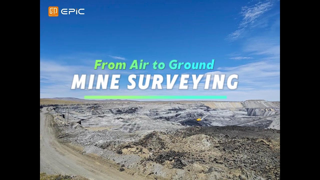
⛰️At a large open-pit mine in Mongolia, EPiC LiDAR implemented a coordinated workflow combining long-range terrestrial laser scanning, UAV LiDAR, and handheld SLAM systems.
✅This integrated approach enables full-scene coverage, high-precision measurements, and real-time 3D data acquisition, even in complex and challenging mining environments.
🔗By leveraging multi-platform LiDAR collaboration, mining operators can significantly improve survey safety, efficiency, and data completeness—laying a solid foundation for smarter mine management and digital transformation.
📌 From air to ground, from overview to detail.
one integrated LiDAR solution.
▶️ Watch the video to see how aerial-to-ground LiDAR transforms real mining operations.
💬 Interested in applying this solution to your project? Let's talk.
🌐 https://en.epiclidar.cn/
📧 [email protected]
Повторяем попытку...
Доступные форматы для скачивания:
Скачать видео
-
Информация по загрузке: